
BC Parkway – Find your way with new wayfinding signs!
BC Parkway – Find your way with new wayfinding signs!
See what I did there? So clever!
If you are curious as to what wayfinding actually is, well, so was I before I started at TransLink!
The basic process of wayfinding involves four steps: orientation, route decision, route monitoring and destination recognition.
It’s essentially a decision making process related to navigation. The decisions we make are influenced by what we sense, our experience and the information we can obtain. Like signage and maps.
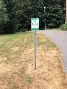
If you’ve been a part of the region for more than a few years, you may have noticed some of these sign changes around the transit system.
TransLink is continually implementing wayfinding enhancements as part of existing capital projects, routine maintenance or as specific opportunities arise.
Speaking of opportunities, the BC Parkway is one!
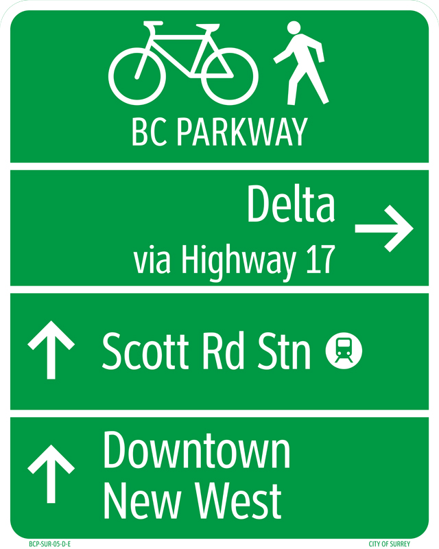
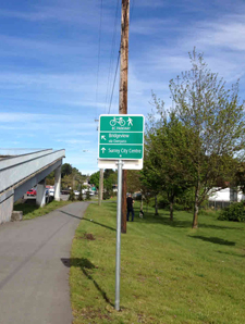
The BC Parkway is a 26-kilometre, multi-use path that connects Surrey City Centre, New Westminster, South Burnaby and Vancouver.
178 new signs are currently being installed along this path. These signs are designed to help everyone better understand the route.
History lesson time!
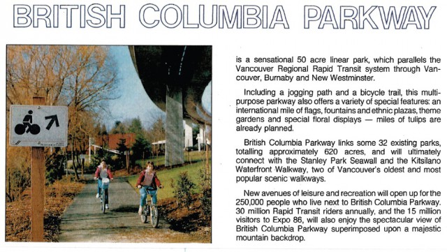
The BC Parkway was introduced just ahead of the Expo ’86 celebrations.
The creation and maintenance was (and still is) a partnership between BC Transit (now TransLink) and the municipalities along the route.
TransLink is upgrading BC Parkway as we speak!
This includes some renovation and maintenance work like lighting, crossing safety improvements and accessibility improvements in different areas along the route.
Here are a few of the changes:
- Realignment of the BC Parkway, away from darker areas and bushes and closer to the road at Nanaimo Station, and along Slocan and Rupert streets.
- New lighting on parts of the parkway in Vancouver, New Westminster and Surrey for increased visibility for BC Parkway users.
- A new designated route at Nanaimo and Patterson stations to separate cyclists from vehicles and pedestrians.
- Widened and paved paths with new ramps replacing steps at Slocan and Rupert streets. This improves accessibility for parents with strollers, people in wheelchairs/scooters and cyclists.
Just because I love old flyers and the like, check out an excerpt from the brochure that was distributed in the region at the time with a shot of the very first signs on the path.
Be sure to take a look at our guidelines for bicycle wayfinding to stay up to date on our regional cycling strategy and keep your eyes peeled for the new signs as you’re cruising on your bike!
Author: Adrienne Coling
Yay, death to those worthless 7-11 signs.