
6 ways to explore Metro Vancouver without a car
6 ways to explore Metro Vancouver without a car

Car ownership is declining in Vancouver, according to data provided by ICBC to Business in Vancouver in 2017. More residents are choosing other ways to get around — whether it’s because of rising car ownership costs or transit has become an even more attractive option with new investments such as RapidBus service and other 10-Year Vision improvements coming online. Or maybe you have a car, but just want to find ways to reduce your carbon footprint wherever possible. We got you! Here are six ways you can explore Metro Vancouver without a car.
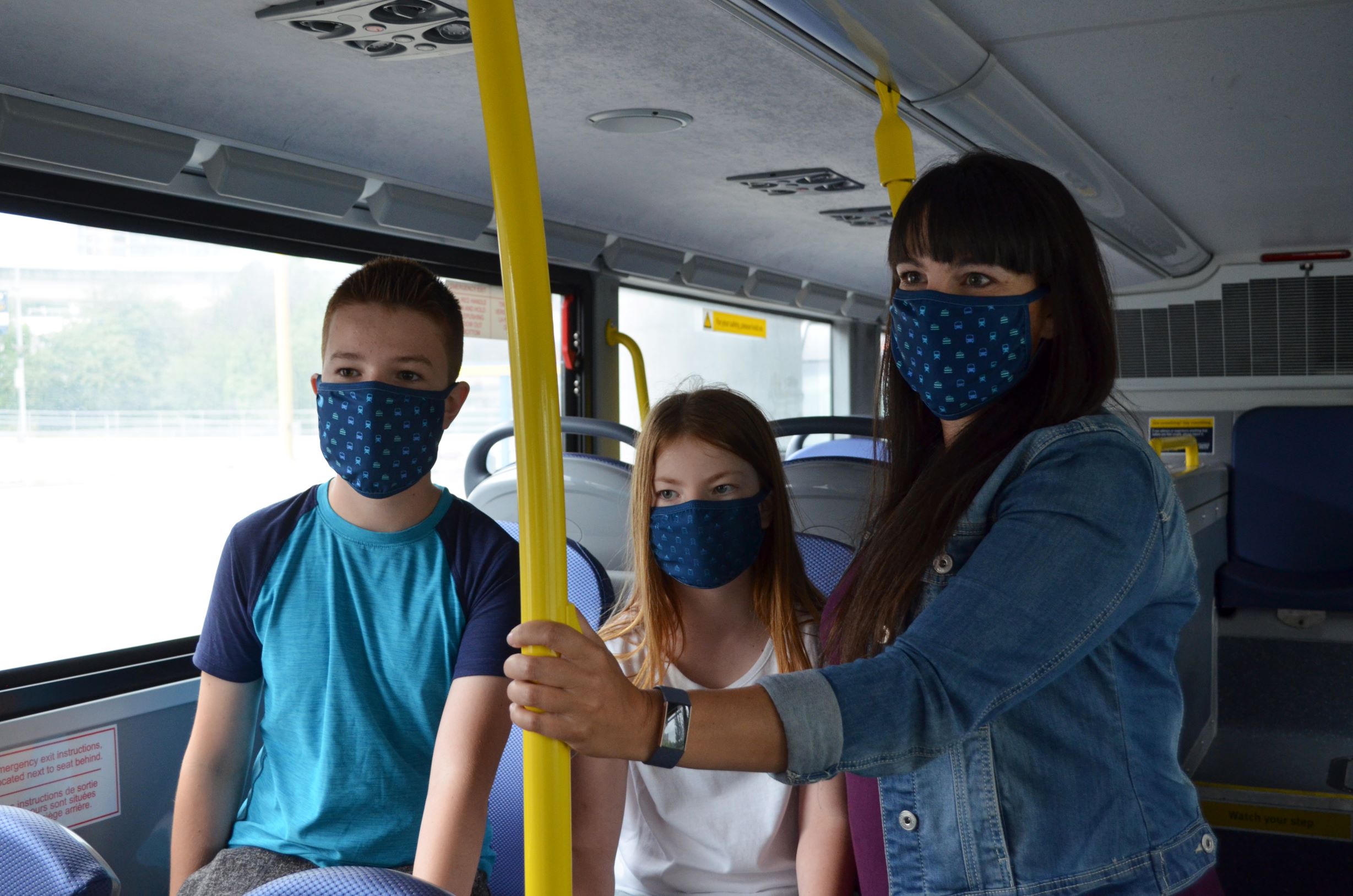
Taking transit
Our service area spans more than 1,800 square kilometres, covering Canada’s largest transit service area — by far. Public transit reaches 90 per cent of the places where people live and work in Metro Vancouver. That means if you have a place to go, TransLink will most likely be able to take you there! Visit translink.ca to plan your trip and sign up for Transit Alerts to create text message or email notifications for the transit services that matter most to you.
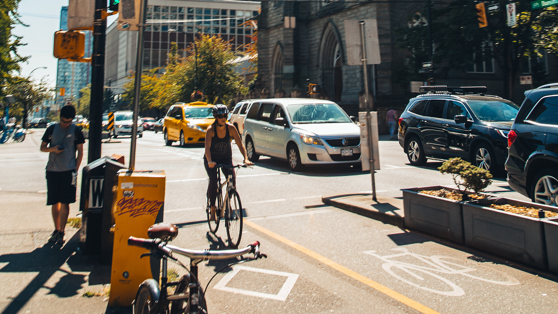
Cycling
Not only is cycling a healthy and pollution-free way to get around, it’s also fast! You can travel five times further on bike for the same amount of time and energy expended as walking. Try this tool to see how far you can travel by bike in five minutes! For most trips under 5 kilometres, which account for 50 per cent of car trips in Metro Vancouver, a bicycle is faster in urban settings.
Your options include:
- The BC Parkway – A 26-kilometre, multi-use path that roughly parallels the SkyTrain’s Expo Line, connecting Surrey, New Westminster, Burnaby and Vancouver.
- The Central Valley Greenway – A 24-kilometre, multi-use path that roughly parallels the SkyTrain’s Millennium Line, connecting Vancouver, Burnaby and New Westminster.
- Canada Line Pedestrian-Bicycling Bridge – The important link across the Fraser River, connecting the cycling routes of Richmond and Vancouver.
Before you start pedaling, plan your trip by exploring our online regional cycling maps on the TransLink’s website. You can plan your trip using the Vancouver Bike Route Planner, which in our experience is more intuitive than Google Maps since it allows to choose a route that has the least hills and least elevation gain. Our partner HUB Cycling also has myriad resources on their website, including best practices for route planning and maps for each municipality.
Don’t have a bike? Mobi by Shaw Go is Vancouver’s bike share service that makes public bicycles available for shared use to individuals on a short-term basis. The bikes can be unlocked from one station and returned to any station in the system, making bike share ideal for short, one-way trips. It starts at $12 for a 24-hour pass that allows for unlimited 30-minute rides.
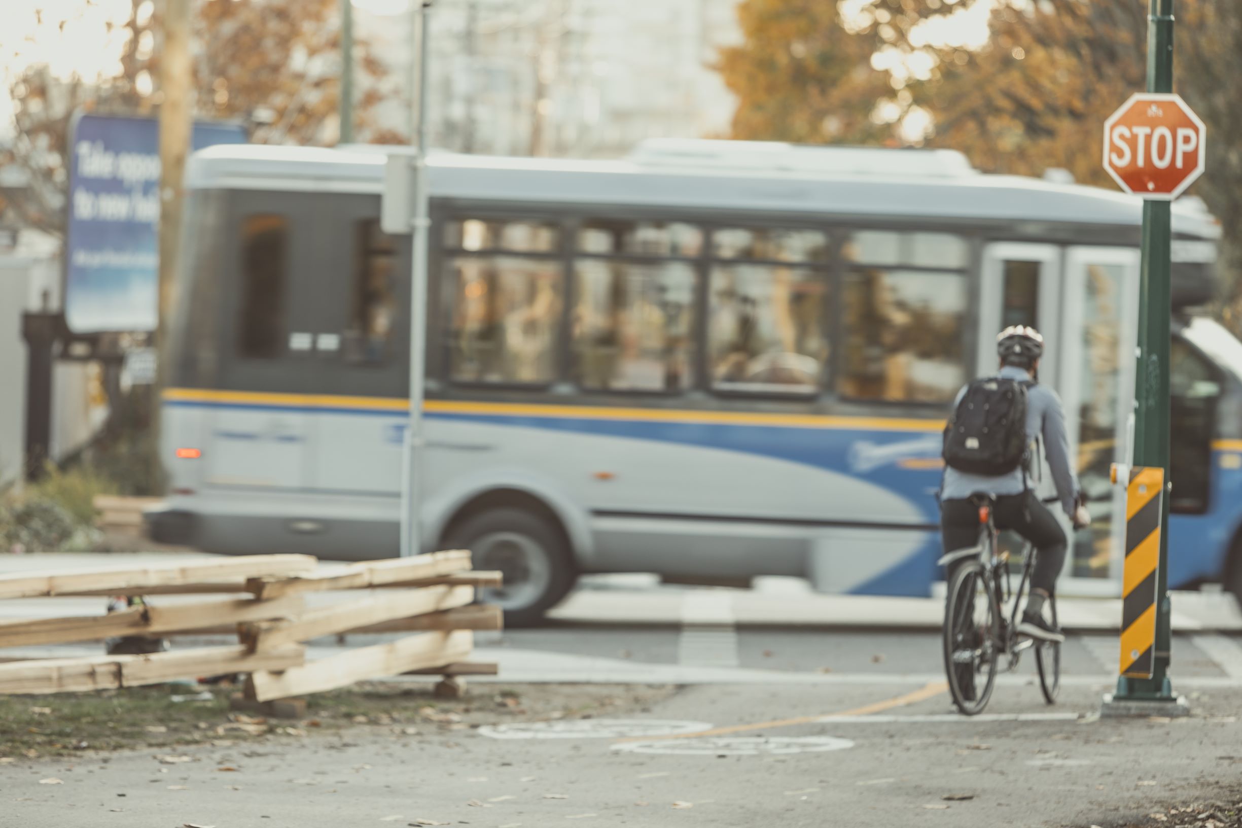
Using transit, then cycling
Bikes can ride transit too! You can bring them onboard bus, SkyTrain, SeaBus and West Coast Express, but please note there are some restrictions. Visit our website for full details, but here are some highlights.
All buses have bike racks attached to the front and it can accommodate up to two bikes at a time. On busier routes, you may have to wait for the next bus if the bike rack is already full. Watch this video to learn how to put your bike onto the rack. Practice makes perfect! We have practice bike racks at City of North Vancouver’s City Hall Plaza, and at Main Street–Science World, Moody Centre and Production Way–University stations.
On SkyTrain, you’re limited to two bikes per car on the Expo and Millennium Lines, and one bike per car on the Canada Line. During busy times and directions (i.e. Expo and Millennium Lines towards Vancouver in the mornings and away from Vancouver in the afternoons), bikes are not allowed.
On the SeaBus and West Coast Express, bikes are allowed at all times. There’s a maximum capacity of six bikes per sailing during busy times on the SeaBus and a maximum of two bikes per car on the West Coast Express.
Cycling, then take transit
We have indoor facilities, called Bike Parkades, at select SkyTrain and West Coast Express stations in Vancouver, Burnaby, Surrey, Coquitlam, Port Coquitlam, Richmond and Maple Ridge where you can park your bike all day for just $1 up to a maximum of $8 in a month. That means the more you use it, the more you save!
To get started, register your Compass Card online at compasscard.ca to unlock exclusive parkade access and you’re ready to roll. Tap into the parkade with your Compass Card, lock your bike to the rack and you’ll be on transit in no time.
Bike Parkades are accessible 24/7, fully lit for visibility inside and out, and equipped with video surveillance for your peace of mind.
Or, check out our recently launched on-demand Bike Lockers, which are electronically assisted stalls controlled by the Bikeep app. These lockers are simple to use, allow 24/7 access, and give you the ability to check on your locker whenever you choose. They’re available at Moody Centre Station, Carvolth Exchange, VCC-Clark Station, and 22nd Street Station. To find the best parking option for your bike visit translink.ca/rider-guide/bike-parking.
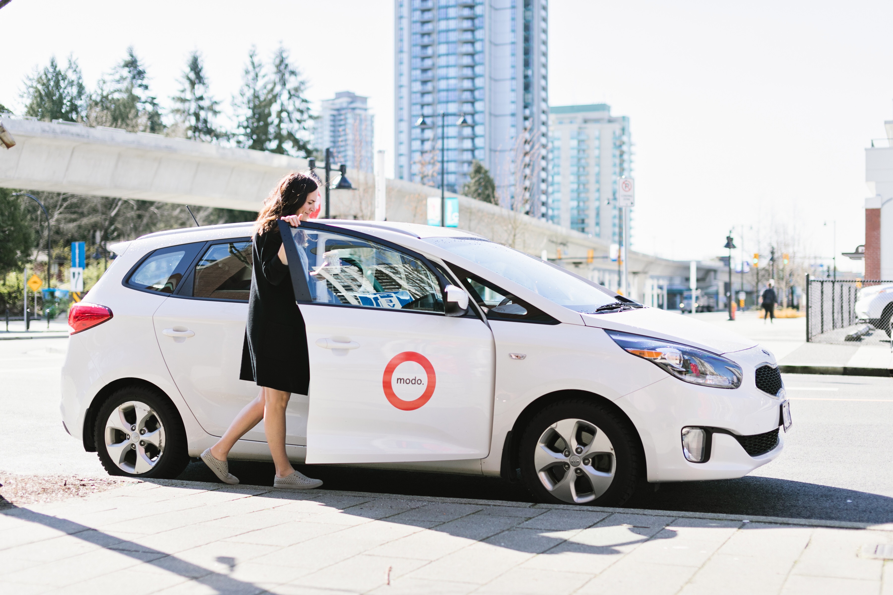
Using transit, then carsharing
While most attractions are accessible by transit, there are some such as regional parks that aren’t, but that doesn’t mean you can’t visit them! We have dedicated stalls for Modo and Evo carshare vehicles at select stations, allowing you to reach your final destination by car. Here’s where you can find them:
Modo
- King George Station
- Coquitlam Central Station
- Edmonds Station
Evo
- Braid Station
- Columbia Station
Modo is a round-trip carsharing service, which means you return the car where you pick it up from, while Evo is a one-way carsharing service. You can drop off your Evo car anywhere within the home zone, which includes most of Vancouver, as well as parts of North Vancouver and New Westminster. Visit their website for details to determine which carsharing service is best for you.
It’s best to register for the carsharing service of your choice in advance, so you’re not fumbling to register at the SkyTrain station. Visit Modo and Evo‘s websites to register and find out their rates.
We recommend booking in advance to ensure when you arrive at the SkyTrain station there’s a car waiting for you. You can book up to a year in advance for Modo, while you can book up to 30 minutes in advance for Evo.
And don’t have a driver’s license? Ridehailing services such as Uber and Lyft are now available throughout Metro Vancouver, but please request pick up only in areas where stopping is allowed and safe. There are dedicated pick-up and drop-off spots, also known as “kiss and rides,” at select SkyTrain stations.
Using a Park and Ride, then transit
Finally, you might have a car, but you don’t necessarily want to drive the entire way.
A Park and Ride is a parking lot that’s located at a transit station, allowing you to conveniently switch from car to transit! You can park all day at a Park and Ride lot for between $2 and $3, depending on the location and there are 20 locations across Metro Vancouver, serving SkyTrain, West Coast Express and major bus loops. Download the TransLink Park&Go app from the Google Play and iOS App Store, or visit translinkparkandgo.ca for touchless payment.
Here are some of the ways!
Want to head to Barnet Marine Park? You can park at Moody Centre Station in Port Moody and then take the 160 Kootenay Loop bus to get there. The 160 bus typically operates 15 minute-or-better service until 9 p.m. every day, and starts at 6 a.m. on weekdays, 7 a.m. on Saturdays and 8 a.m. on Sundays.
At Coquitlam Central Station, we operate a special bus during the summer months to Belcarra Regional Park and Buntzen Lake: the 150 White Pine Beach and 179 Buntzen Lake. You can park your car at the South Surrey Park and Ride and take the 351 Crescent Beach bus to get to White Rock and Crescent Beach. Rocky Point Park is located just north of Moody Centre Station.
View our Park and Ride map to find the one nearest to where you’d like to go!
TheTransLink cycle maps you refer to are 4 or 5 years old. You can get 2019 maps from various cities.