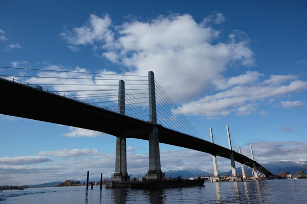
Golden Ears Bridge + Google Maps
June 17, 2009
Golden Ears Bridge + Google Maps
June 17, 2009

A few people have asked why the Golden Ears Bridge isn’t on Google Maps yet, so I thought I’d share what our web staff have said:
For Google, it is up to TeleAtlas as they provide the basemap. A request has been made but they will not say when it will be updated. It is the same for the other major supplier of basemaps, Navteq. Users are encouraged to visit teleatlas.com and navteq.com to report changes to encourage them update the basemap sooner rather than later.
So, just let TeleAtlas and Navteq know that you’d like to see the Golden Ears Bridge on there!


OpenStreetMap, the wikipedia equivalent of online maps is ahead of the game. It already features the Golden Ears Bridge. Check it out – it’s fast becoming even more complete than Google Maps, especially in Europe. And it’s free & open to use and contribution by anyone.
http://www.openstreetmap.org/
This is neat. However, I prefer Google because
-it’s recommended on Translink’s website
-Google offers Satellite maps
-OpenStreetMap doesn’t offer directions, nor transit directions.
Your hyperlink above to Teleatlas does not work. You need a www in the address.
Fixed now, click away!
openstreetmap.org isn’t the be-all and end-all of OpenStreetMap. The data is open source so others can do what they want with it – and do. Check out maps.cloudmade.com, for example, if you want directions. There are even sites that do cycling directions – try getting that with Google Maps.
How about the transit system maps on the TransLink main page? I thought those would have been updated by now to include the Golden Ears Bridge (and by extension, the new 595 route).
Somebody emailed me about this too actually, so I have the answer already: the maps will all get updated in September. I believe that’s because a ton of service changes that are coming due to the Canada Line, and they want to focus on one big overhaul to the map.
Hi,Jhenifer, it’s days away from November, but the updates you mentioned would happen in September are still not on G Maps.
Hey JC, which changes are you looking for? As far as I know all the September sheet changes and Canada Line stations are on the maps now. However the Golden Ears Bridge has not yet made it on. Again, Google Maps is a third party service so while we can offer them our info, we can’t ultimately force them to make the updates — submitting them to the base map suppliers as indicated in the post above is what we suggest you do.
Just looking, it’s now almost 2010 and the Golden Ears Bridge is still just a dot on Google Maps…..any changes coming soon? Canada Line is now done too….update please
Really? Gargh — we should all keep writing in, I guess. I hope TeleAtlas and Navteq do get the bridge up there soon!
I wonder if Google Maps will ever have the bridge?
probably never
Good job…
[…]very interesting topic, outstanding post[…]…
[…] Source for Golden Ears Photo Once at Haney Place I had a few minutes to putz about before continuing along to my ultimate destination via these three busses… 701 Coquitlam Centre, 97 Lougheed station and ultimately the C26 Belcarra […]