Main Street bus information displays are now active
Main Street bus information displays are now active
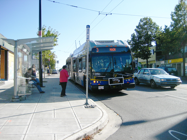
Remember the passenger information displays being installed at 29 Main Street bus stops this summer?
Well, as of last Friday, the displays are all working! So now you can see arrival times for the next buses at those stops. (Above is a video of the displays in action — they’re very tricky to capture in plain photographs.)
These displays are all part of the Main Street Urban Showcase Project, an innovative transportation improvement program launched in 2004. It’s jointly funded by Transport Canada (through the Urban Transportation Showcase Program), TransLink and the City of Vancouver.
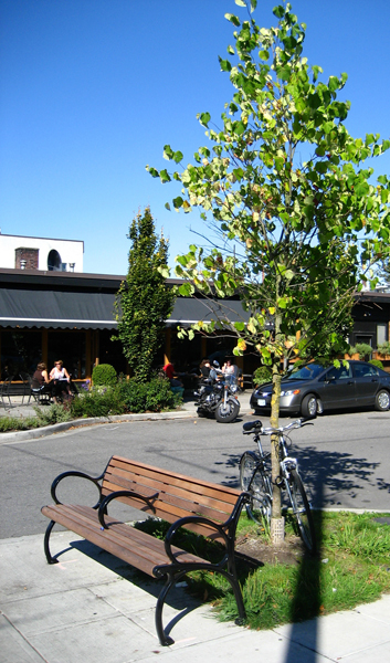
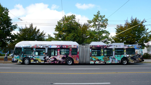
The Main Street project is made up of many smaller improvements in urban design (like bus and pedestrian bulges) and new transit technology (like these displays), plus a new fleet of larger buses (the new articulated trolleys on the #3 route). This postcard has a nice summary of the project work.
These improvements work together to build more efficient traffic flows, and make Main Street more welcoming for pedestrians, drivers, and transit riders—in turn serving the ultimate goal of reducing greenhouse gas emissions.
Look out soon for the last piece of the Main Street project: it’s a transit signal priority system, letting on-bus technology ‘talk’ to traffic signals to help keep the buses on time. (It’s explained quite well here, and I’ll have more when the project gets underway.)
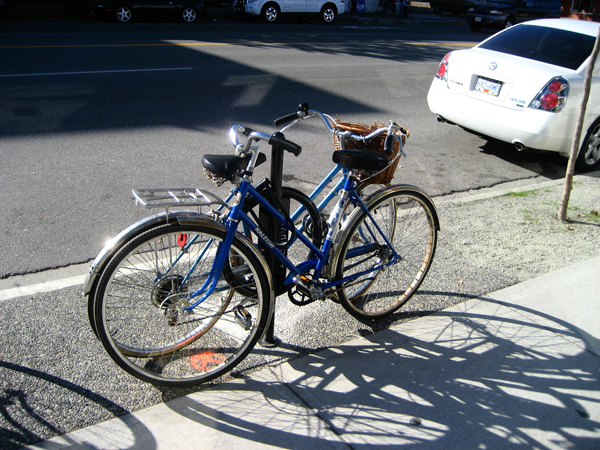
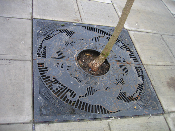
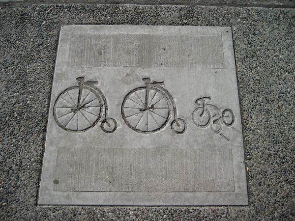
And here’s a few more photos of the other Main Street project works, while we’re at it!


– Those antennas at the top of the traffic signals (3 antennas) – are they for the buses to control?
– What is the diamond shaped antenna for? Emergency vehicles?
– Are all of these supplied by Novax Industries?
– At Garden City and Sea Island way in Richmond, are those 3 antennas at the top the same as the one on Main St and supplied by Novax?
This is awesome, I love the new bike lockups, this city doesn’t have anywhere near enough of them!
I was just wondering about the next stop displays, how are they powered (ie. solar…) and are they schedule based or GPS based?
Now that the buses are all rigged for GPS, is there any chance we’ll see an integration of that into the system for these signals and the translink next bus phone line?
Patrick:
The power for the displays comes from the trolley pole power supply. Here’s a comment in the last Main Street post that explains how we came to choose that power source.
I’m asking about the GPS stuff. With the GPS capabilities, we are able to obtain real-time data for Next Bus alerts. However, I don’t know the status of the project which is working to make that a reality.
Just a follow-up: looks like the real-time data project will start work after the Olympics.
That’s great. Any chance of these type of L=ED Signs coming to other busy routes ( Broadway Corridor) It would also be nice to see thes newer LED’s on the Expo & millenium Lines, the Platform LED sighns @ Stdium & Main St stations are quite faint.
Gordon:
Sadly, the LED displays aren’t likely to be installed on other routes at the moment. It’s a cost and installation issue. They’re relatively expensive to put in, but our Showcase partnership provided funding for the displays. Also, municipalities are in charge of most of the stops in our region, so they would have to decide on whether they wanted to put in these displays and link them to an appropriate power source. The Showcase partnership with the City of Vancouver helped get electricity installed to power them.
Anyway, check out this comment in the earlier Main Street post for more on why the LED displays were installed, and other information strategies we might use in the region.
Jhenifer,
I’ve just been reading and reviewing a newer technoogy used in e-books. This technology uses electricity to change the pattern of a special e-ink on a surface that looks a lot like paper. Once the pattern has been created, it requires no power to maintain it. It seems an ideal technology for passenger information at bus stops, providing there is a power source. For example, it could replace the paper timetables and when they need to be updated, a press of a switch at central control will refresh the display. There are other potential uses for it too. Seems to be that placing this behind a hardened surface might be a worthwhile alternative. In this day of electronics, paper timetables seems so 1970s.
David: Interesting idea! Want to put it in our customer relations form so it will end up in the right hands? I am at a bit of a loss about who to forward the suggestion to.
I love new technology… however when it needs to be maintained at multiple locations open to weather, theft, and vandalism, the simplicity of paper can’t be beat.
Perhaps that’s why I supportive using mobile solutions as people are not likely to destroy their phones and…. the portability means I can get the information whether I’m at the bus stop or not. The information is also centrally updated and is instantaneous.
Thanks Jhenifer for the update on the real-time status. Again, if Translink needs beta testers, I’ll be happy to give them my two cents.
At this time, m.buzzer.ca is still “busted” with Canada Line changes from 6 weeks ago. I got an email a few weeks ago they were working on it. For example 56689 is still not providing transit information. I’m so depressed, I’ve been driving more than using the bus since the outage.
To confirm…. the information on these LED signs are not real-time like the Canada Line are they?
They have the same thing on the IXpress in Kitchener Ontario!
and again, the #99 B-line gets snubbed with this.
;-):
As far as I know it is real time, since it uses the info from the on board GPS systems to track where the buses are.
Cree:
As I’ve mentioned, the only reason these displays are on any route in the system is because of the Showcase project. It’s not a slighting of any other route in the system — it’s just because it is part of a project with adequate funding that is focused on one corridor. But of course, if you’d like displays on the 99, you can feel free to write to the City of Vancouver and let them know your thoughts, as well as putting them in our customer relations web form.
I take it you guys didn’t use Siemens. Heh.
Cliff:
Nope! The technology is from a different supplier than the 98 B-Line displays. Novax made the displays and INIT did the technology providing the updates.
As with anything flashy and unsupervised, I imagine this is no different when it comes to vandalism.
Are any efforts being made to prevent vandalism to the displays?
Was vandalism risk a factor in determining the locations of the units in this pilot?
Will TransLink aim to bring the displays further east in the future by speaking to other cities or is this strictly a showcase partnership deal? Is it largely dependent on funding?
What do you think TransLink will say about my battery operated display on wheels for flag stops? :p
Cliff: I sent your question on to the project staff, and here’s the answer:
I should add that yes, the Main Street displays are up solely because they are a Showcase project.
Ivan: I finally have the answers for you. Here we go!
The three antennas are for the Tropos wayside routers. The routers are devices that enable wireless communications. They are essentially the same thing as your wireless router at home that lets you surf the web without connecting your computer directly into your modem.
The diamond antennas are for the Encom radios. The Encom radios are radio devices that send information through a radio signal from point A to point B.
All of the above supplied by Novax.
Yes.
While coming off the Expo Line, I just realized I can read the estimated arrival times from the platform. However those estimates can be off by a few minutes if the bus gets lucky with traffic congestion and the lights, especially when I coming down the stairs.
Now just need to wait for this real-time information on the website.
But aren’t these signs kind of like the 98 B-Line ones? And we know how that went…
Well, the new signage uses updated technology — the 98 B-Line signage is basically 10 years old now. But I take your point. I’m going to hope these ones will be well tended and endure!
I notice the Northbound Terminal and Marine Drive displays are gone…. was this vandalism? Will they be replaced?
If not, do we have an ETA on the mobile real time schedules?
;-): I believe those terminals are being repaired/updated and will be put back soon. I will double check this to be sure!
;-): Here’s the answers about the displays from our planning team.
For real-time schedules, no ETA as of yet… I will keep you posted though.
Hi Jhenifer,
Another good example of Traveler Information Systems is the PID (Public Information Display) sign installed at the Steveston Hwy. Bus Shelter. This one does provide Real-Time bus location and arrival information. So far the public feedback has been excellent. This display was funded jointly between TransLink and the Ministry of Transportation BC. Technology was provided by Novax Industries Corp.
Hi Jhenifer,
Sorry. I forgot the YouTube link associated with the last email.
Dear Translink,
Hi there, when will the buses be able to send transit priority requests to the traffic signals on main street?
Raymond: our Main Street team has told me that the transit signal priority system has been through an evaluation period, and TransLink is currently studying the potential for using these systems in the region.
How about the queue jumping lanes that were going to be installed on main st and terminal avenue so the bus can bypass the traffic and get in/out faster. Have those been put in?
Hi, all he signs seem to now be turned off or broken? When will they be back online?
It’s actually a cool and useful piece of info.
I aam glad that you shared thuis helpful info with us.
Please keep us informerd like this.Thank
you for sharing.