My Jane’s Walk experience: A Walking Tour of SE False Creek
My Jane’s Walk experience: A Walking Tour of SE False Creek
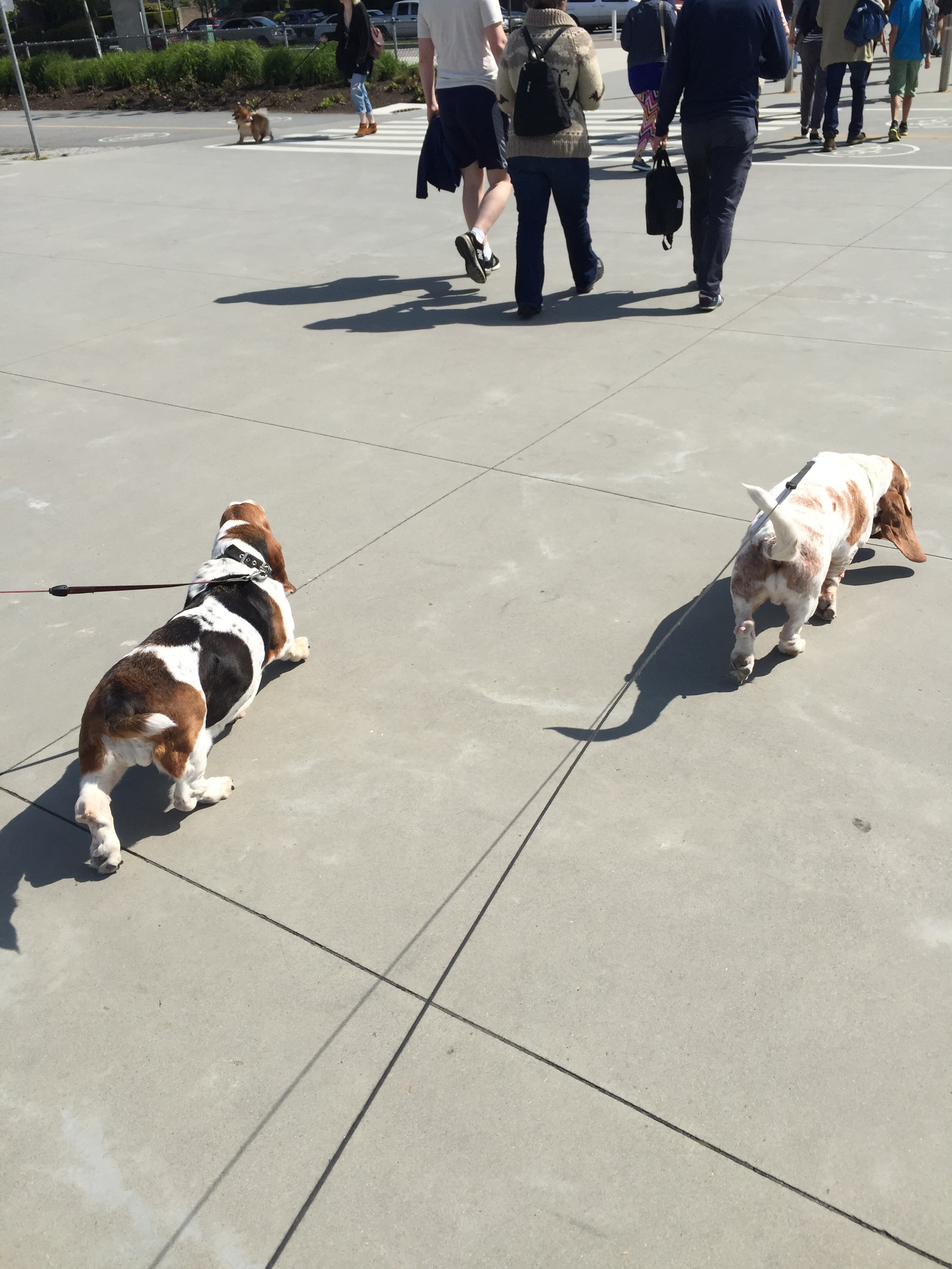
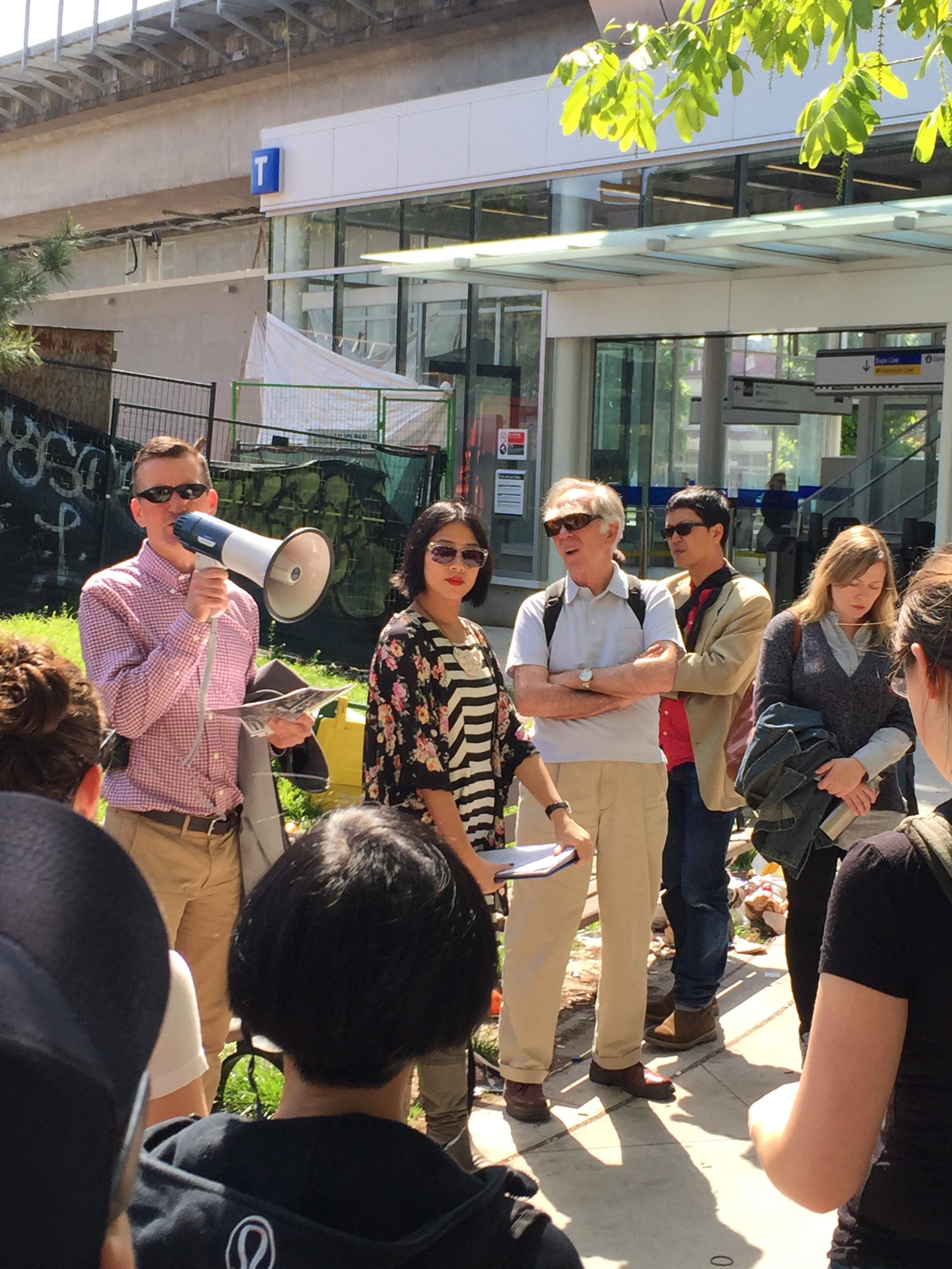
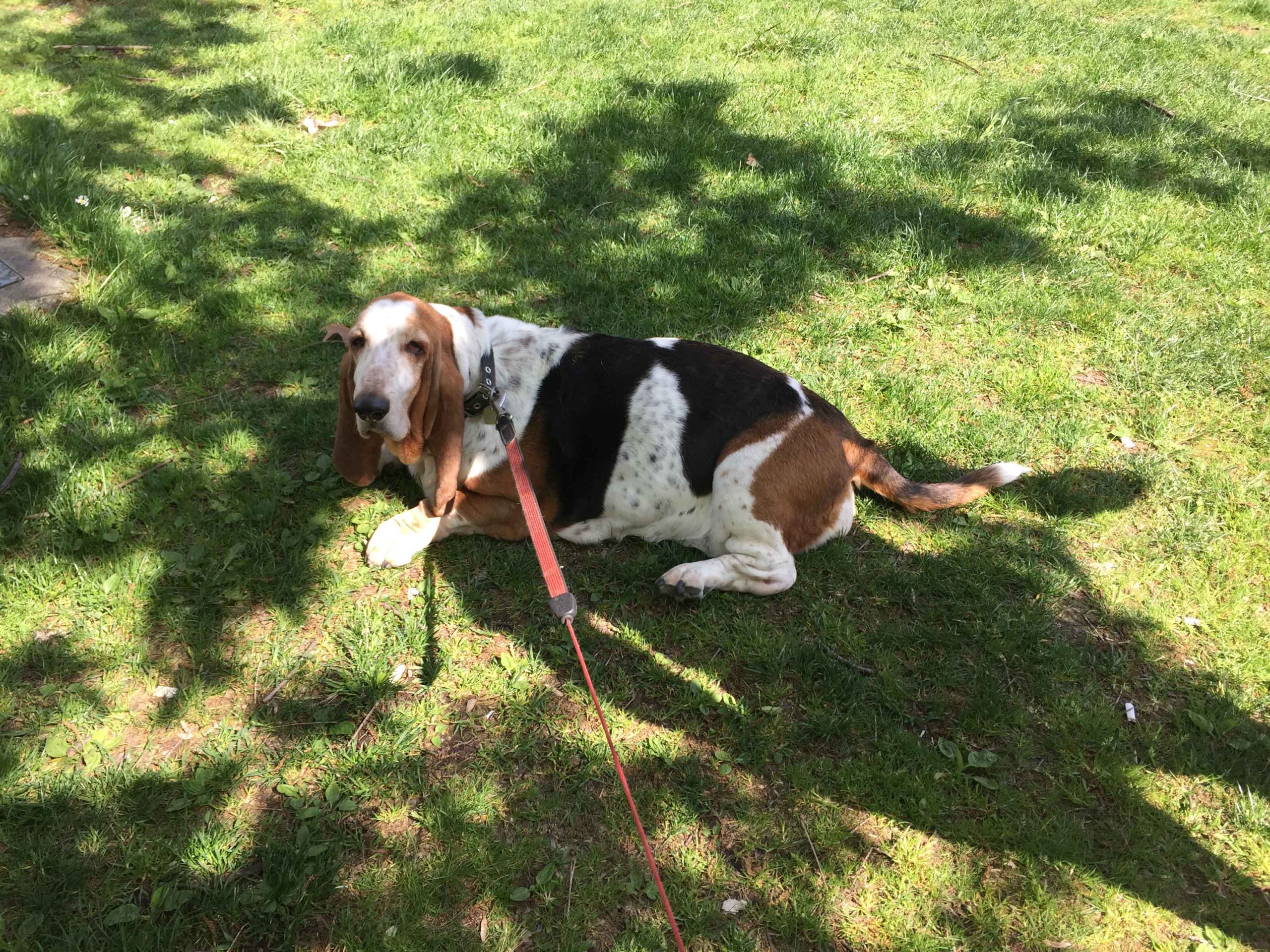
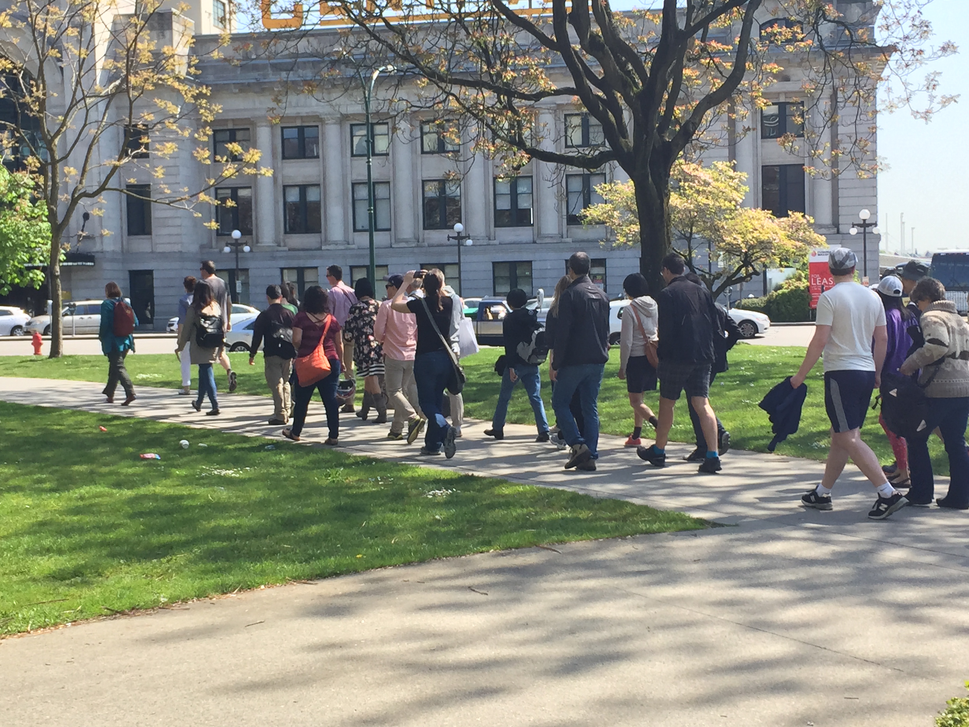
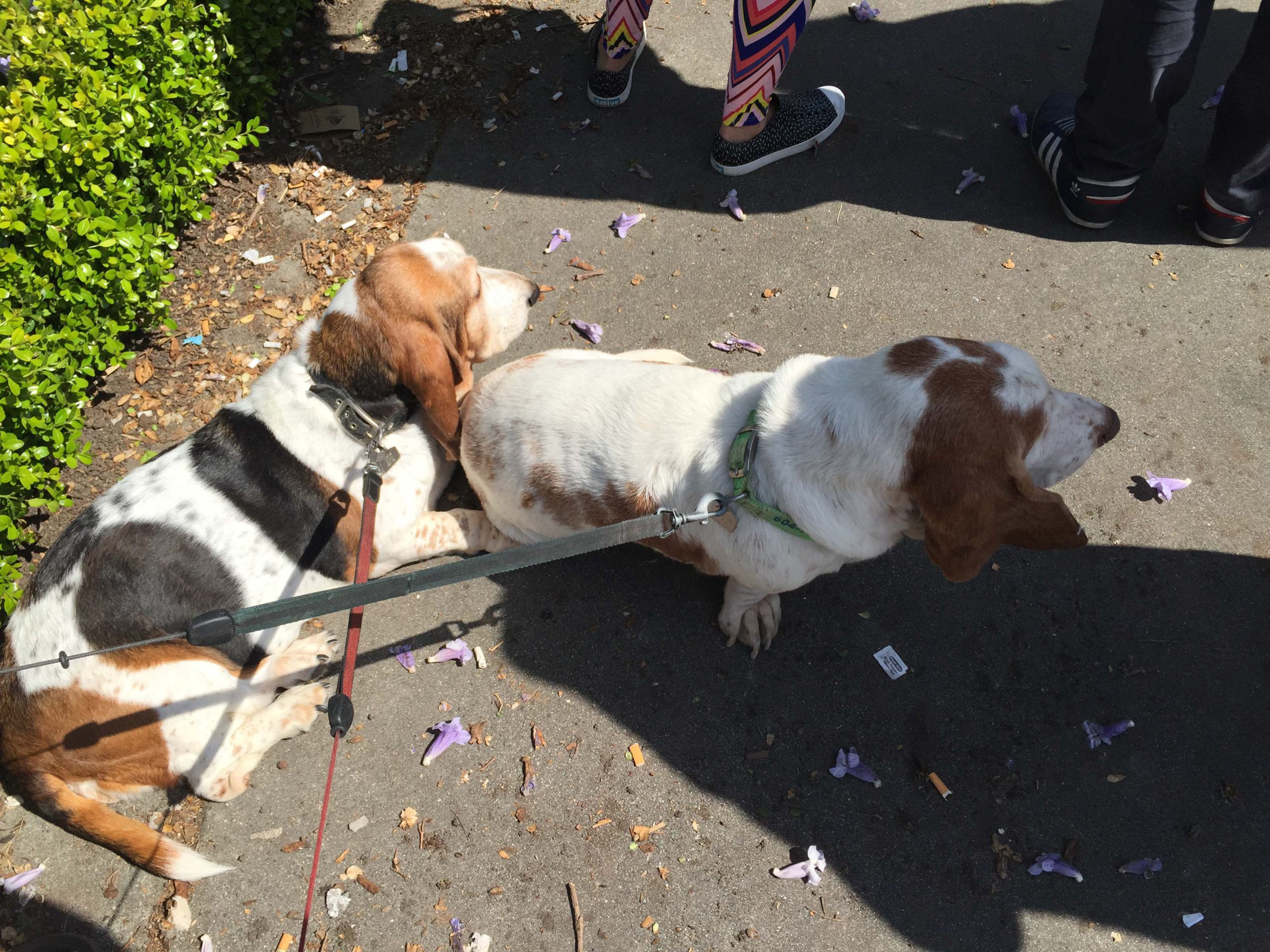
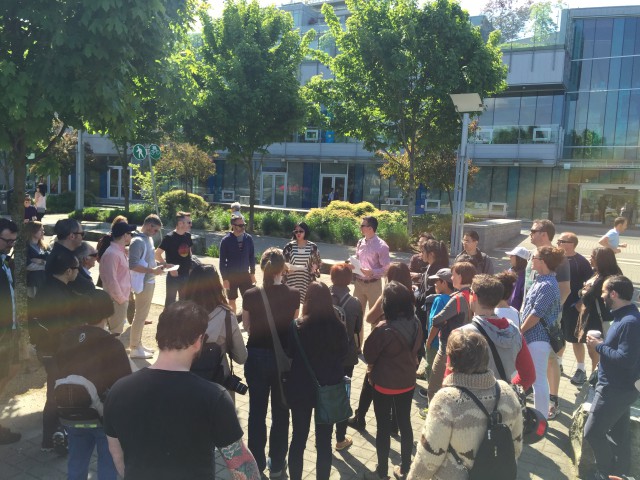 It was a beautiful day on May 3rd when I headed out with my basset hounds to a Jane’s Walk in False Creek.
It WAS a beautiful day, until I ended up in a pond! Ok, that’s the end of the story, let me back up a little.
I hope some of you (or lots of you!) got a chance to participate in this year’s series of walks around Metro Vancouver.
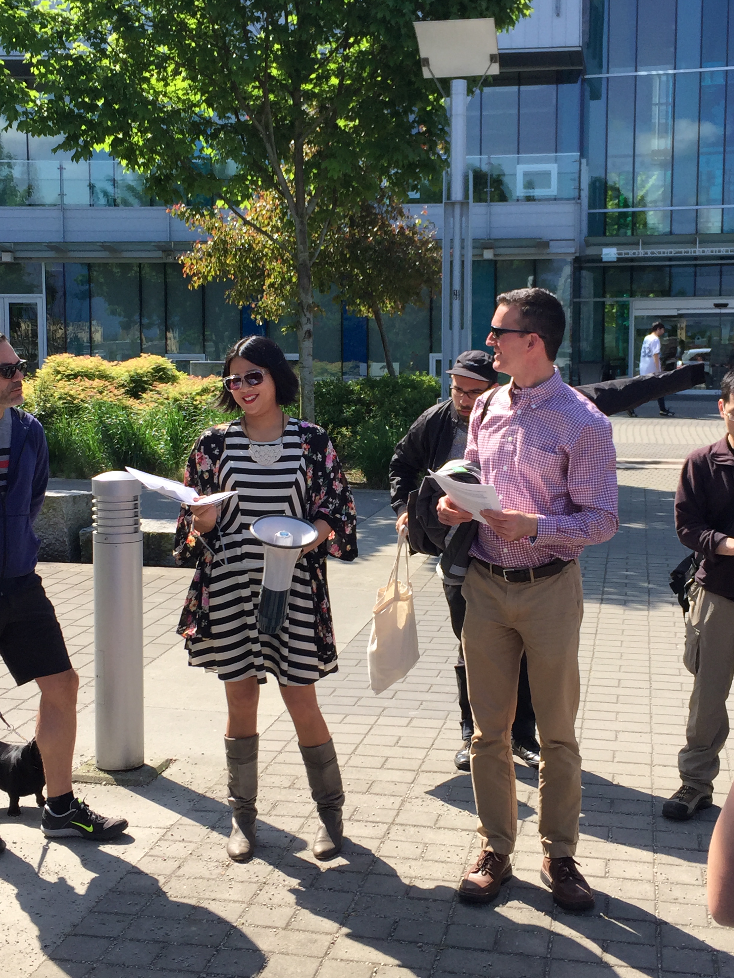
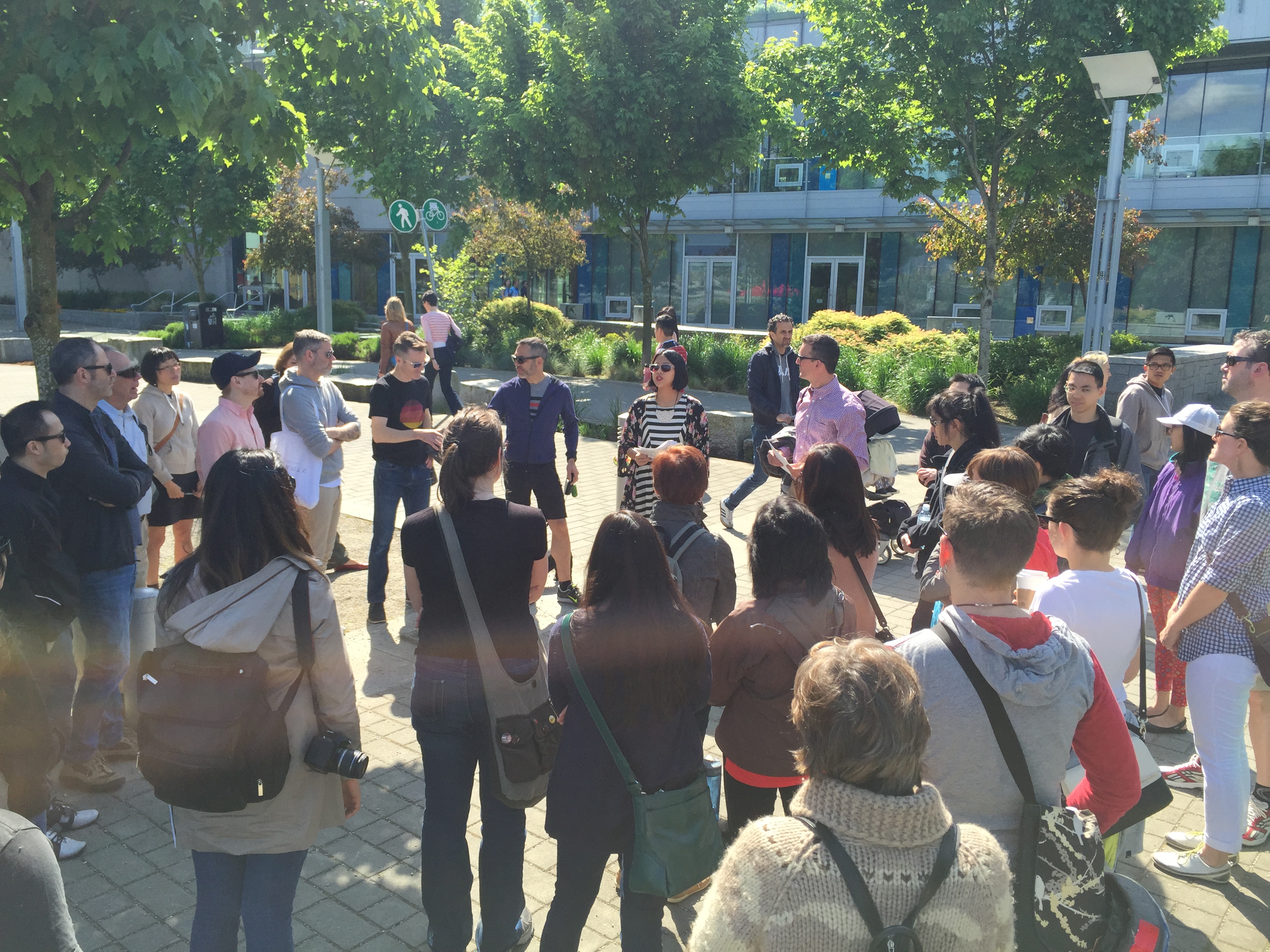
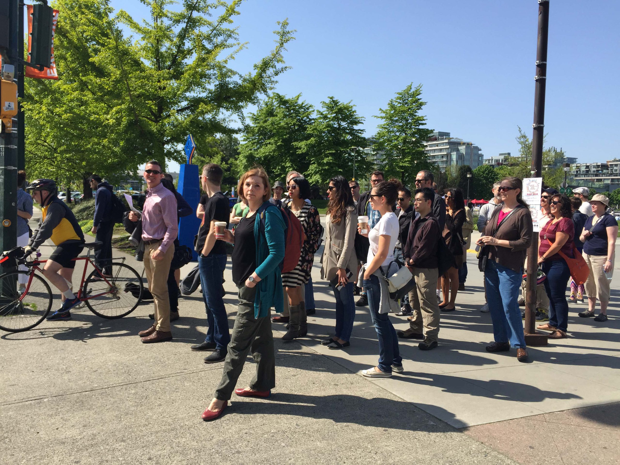
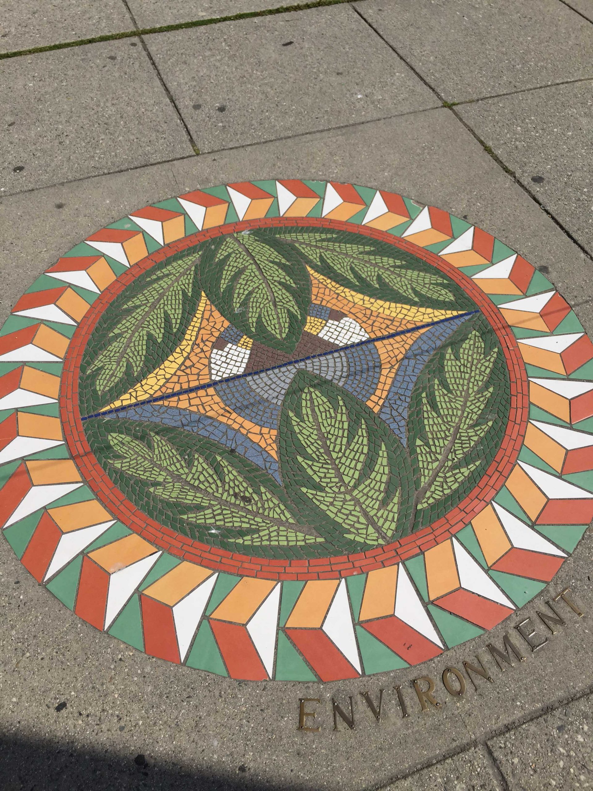
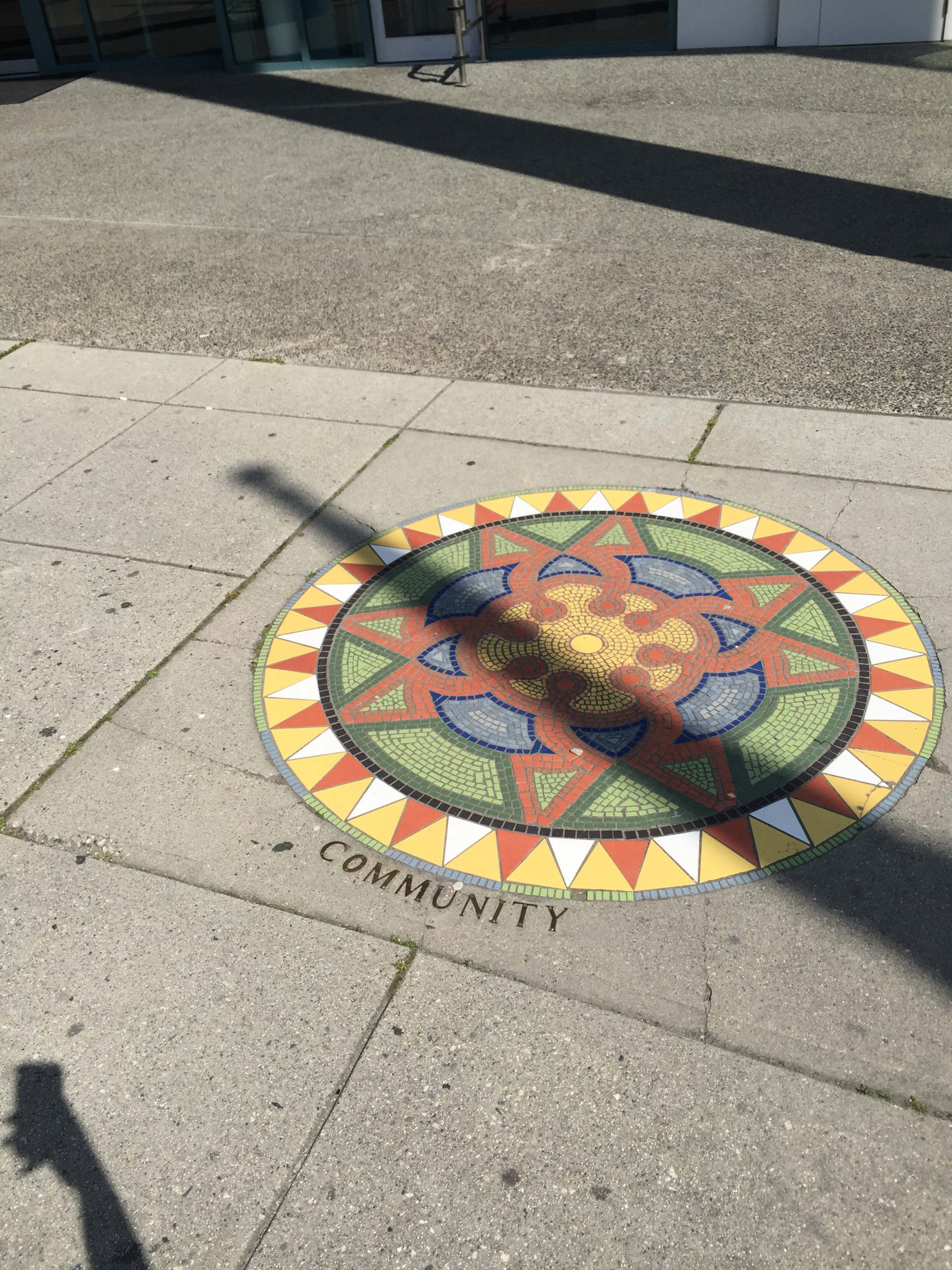
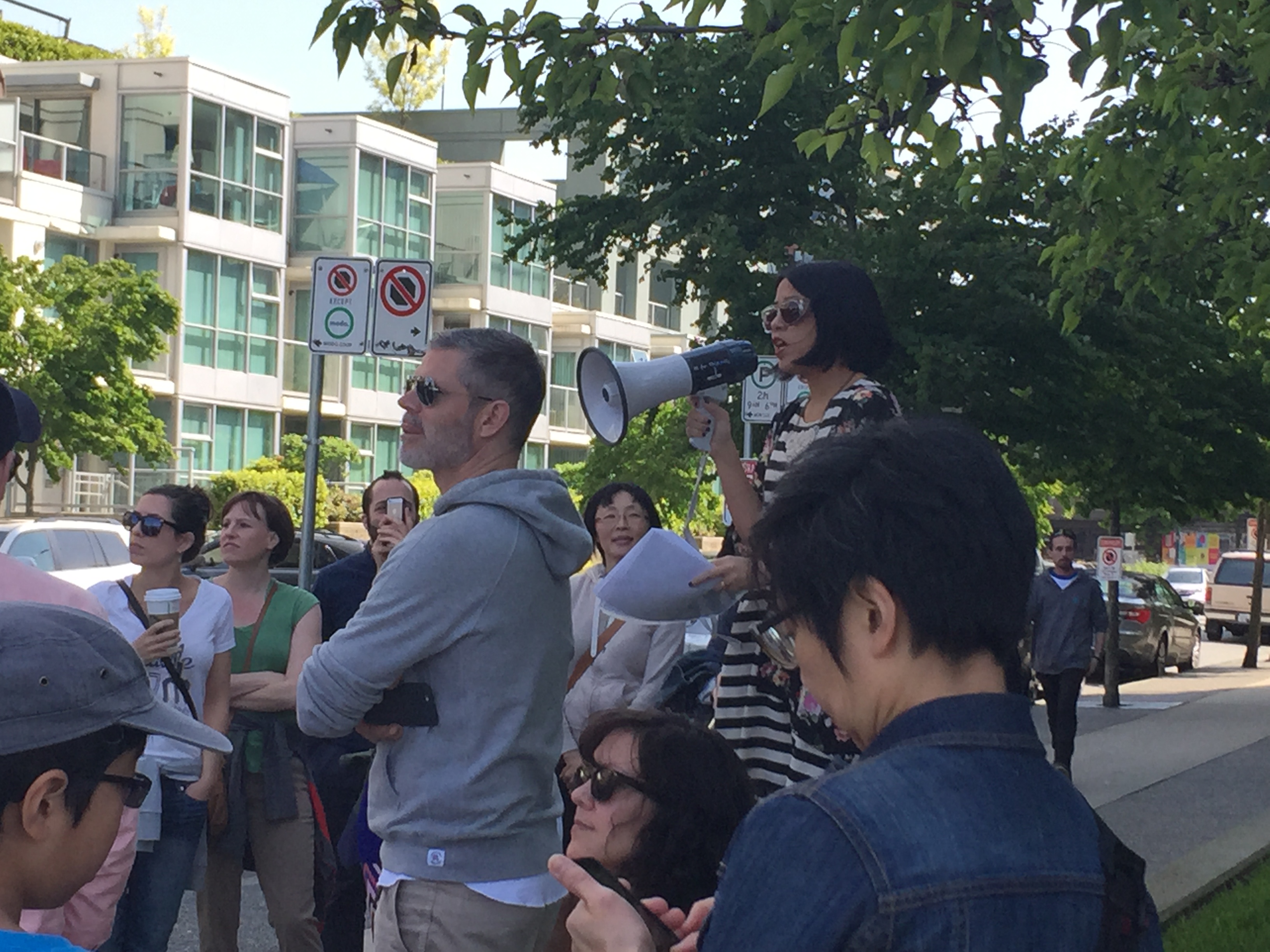
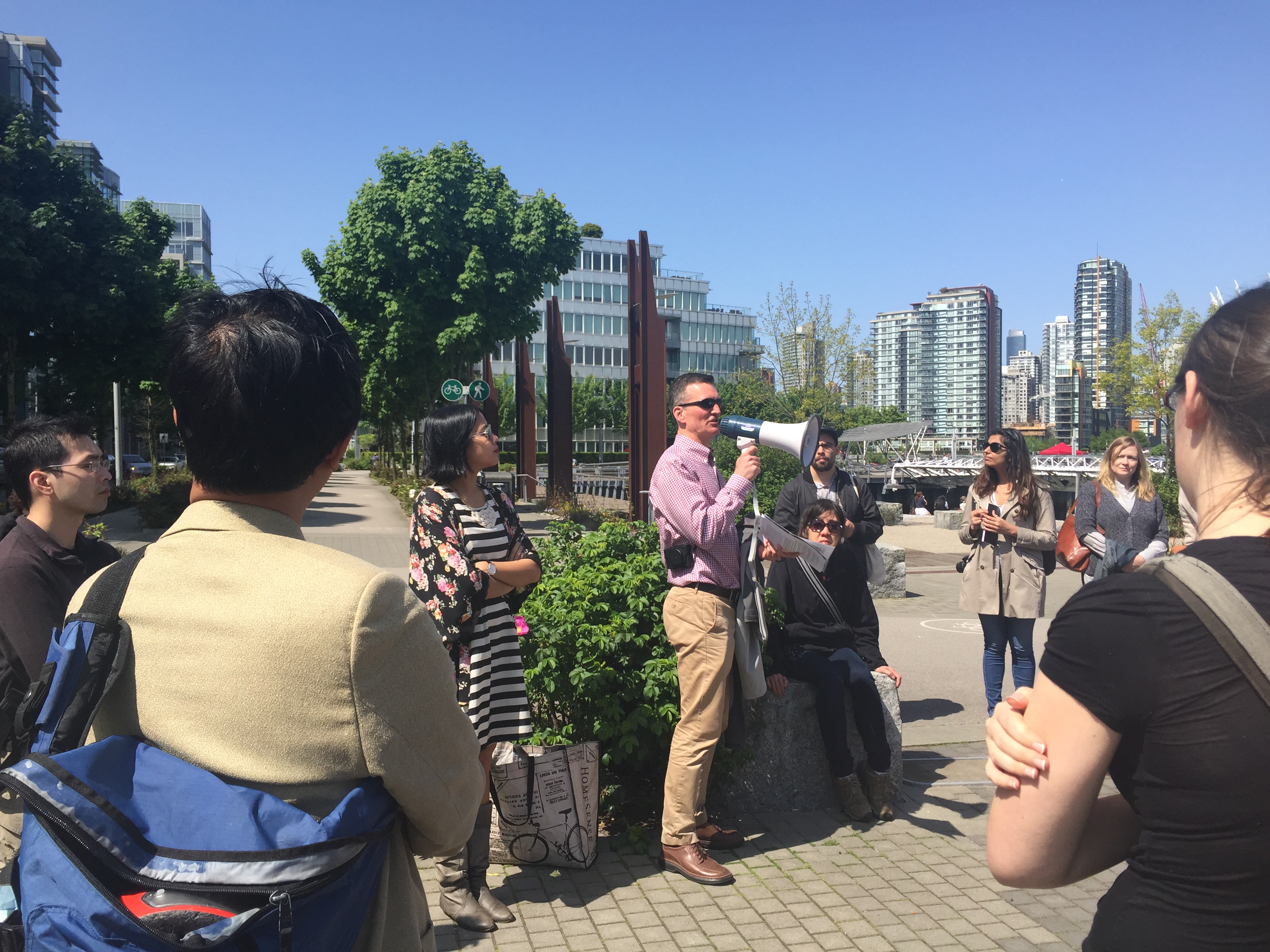
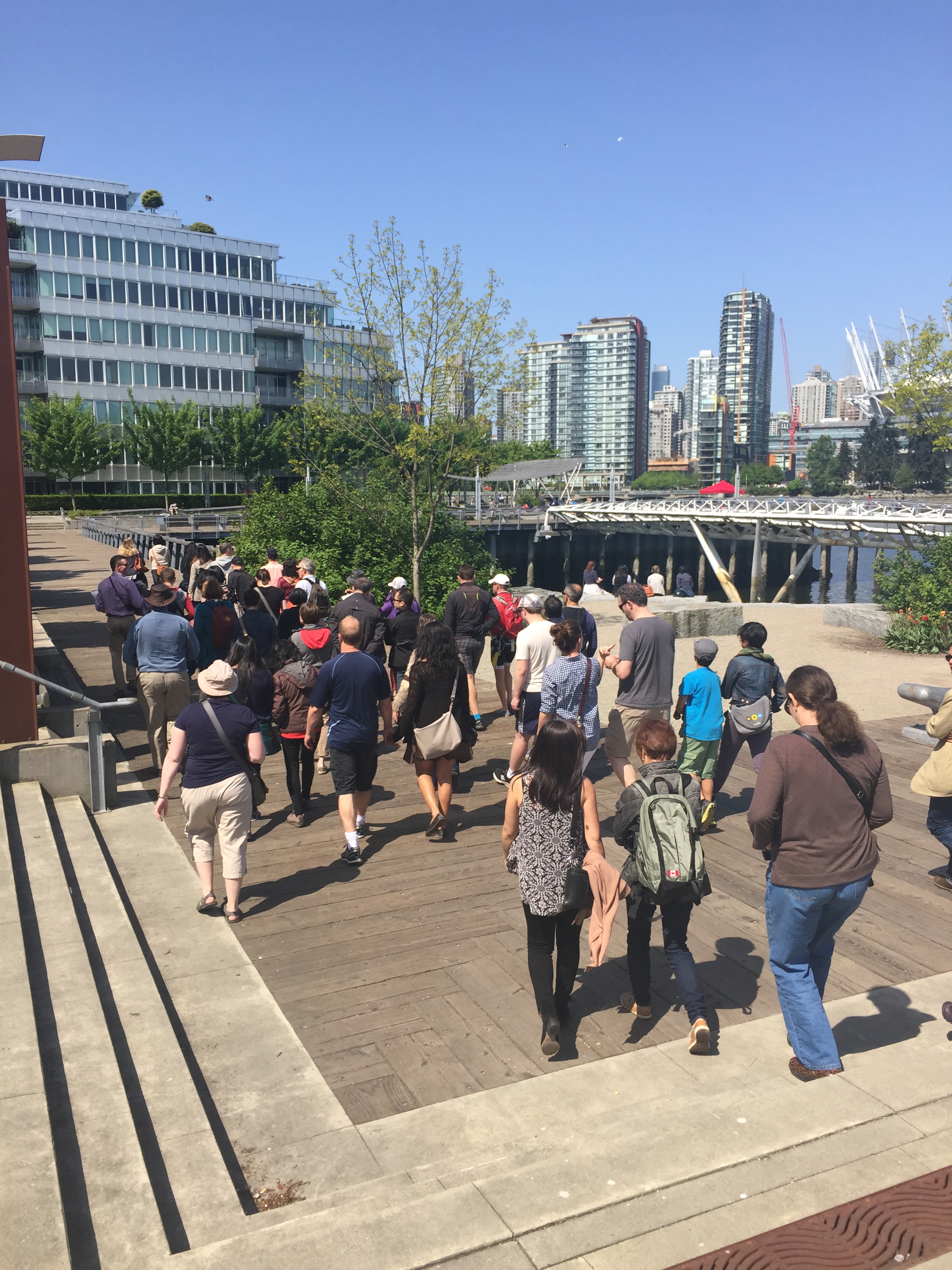
Our leaders for the walk were Sabrina and Ian who work for TransLink and BCRTC, respectively. I have to admit, I didn’t know much about this area of False Creek and Olympic Village area other than, well, the Olympic athletes stayed there. I found out that it is a lovely community with various amenities, interesting public art and a rich history!
We started at Creekside Community Centre. I was tempted to just sit in the sun, enjoying a beverage at Tap & Barrel but we pressed on!
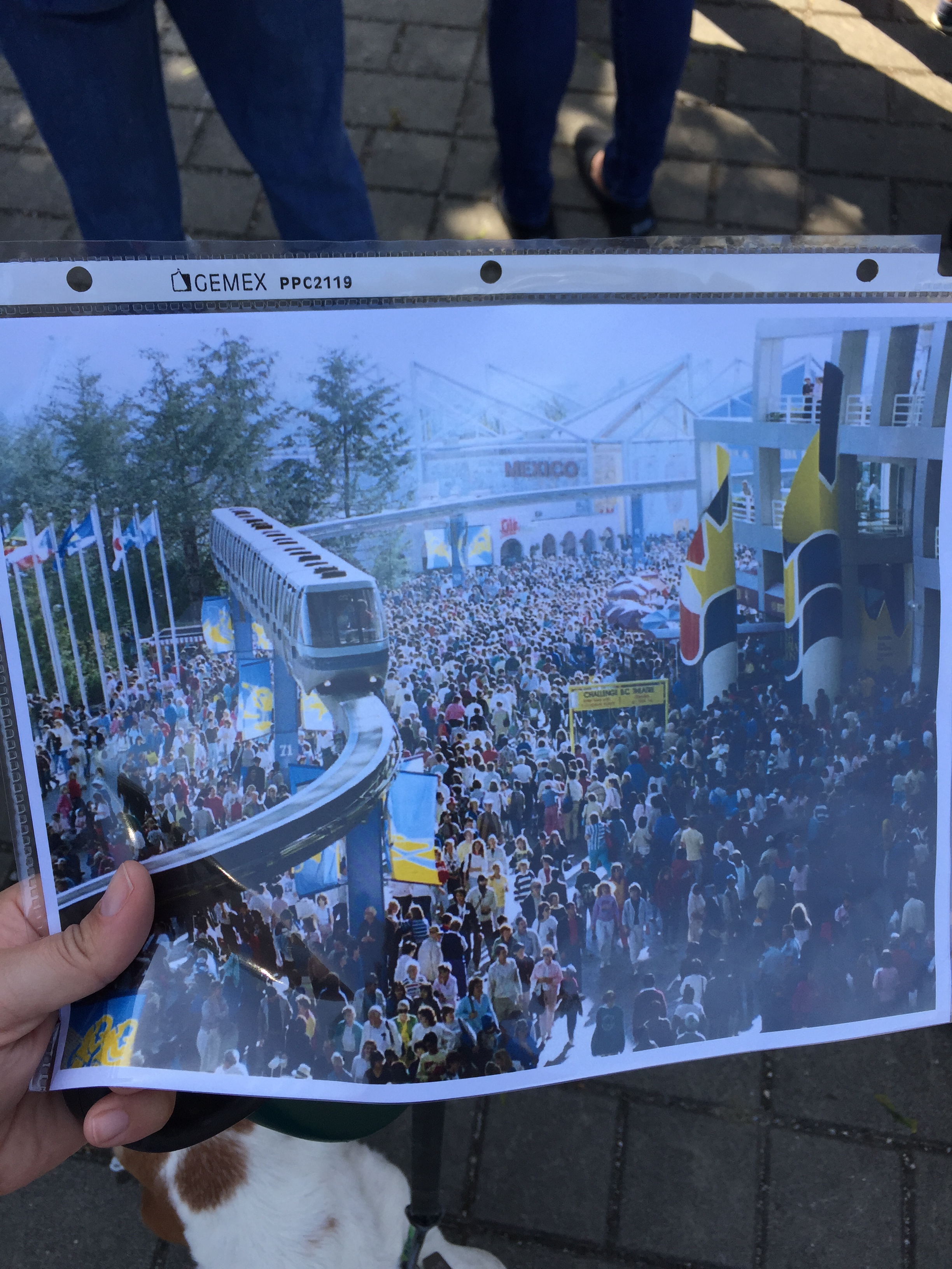
In 1978, False Creek was a mix of railway tracks, lumber mills and factories. That was until BC politicians decided to host a small transportation exhibition called “Transpo ’86” to sync with the centennial of Vancouver and the 100th anniversary of the transcontinental railway reaching Vancouver.
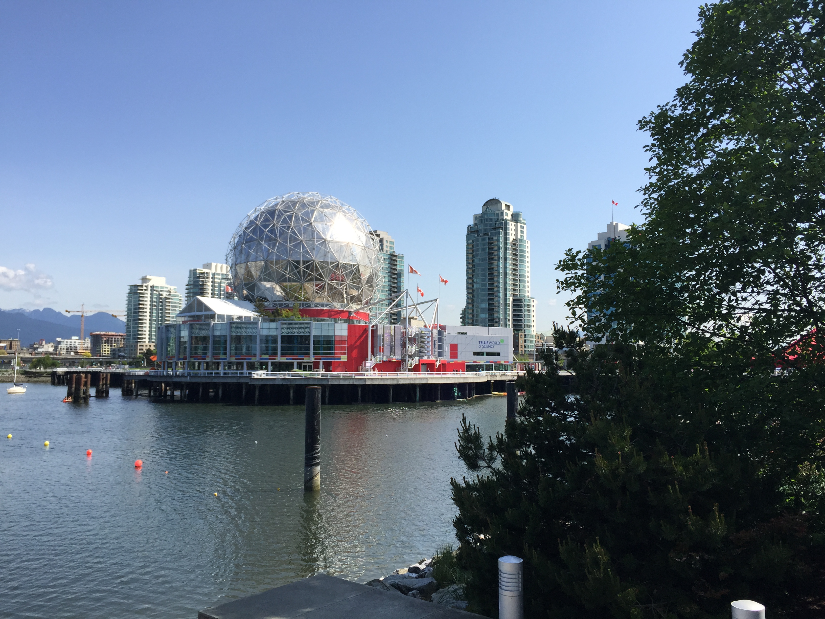
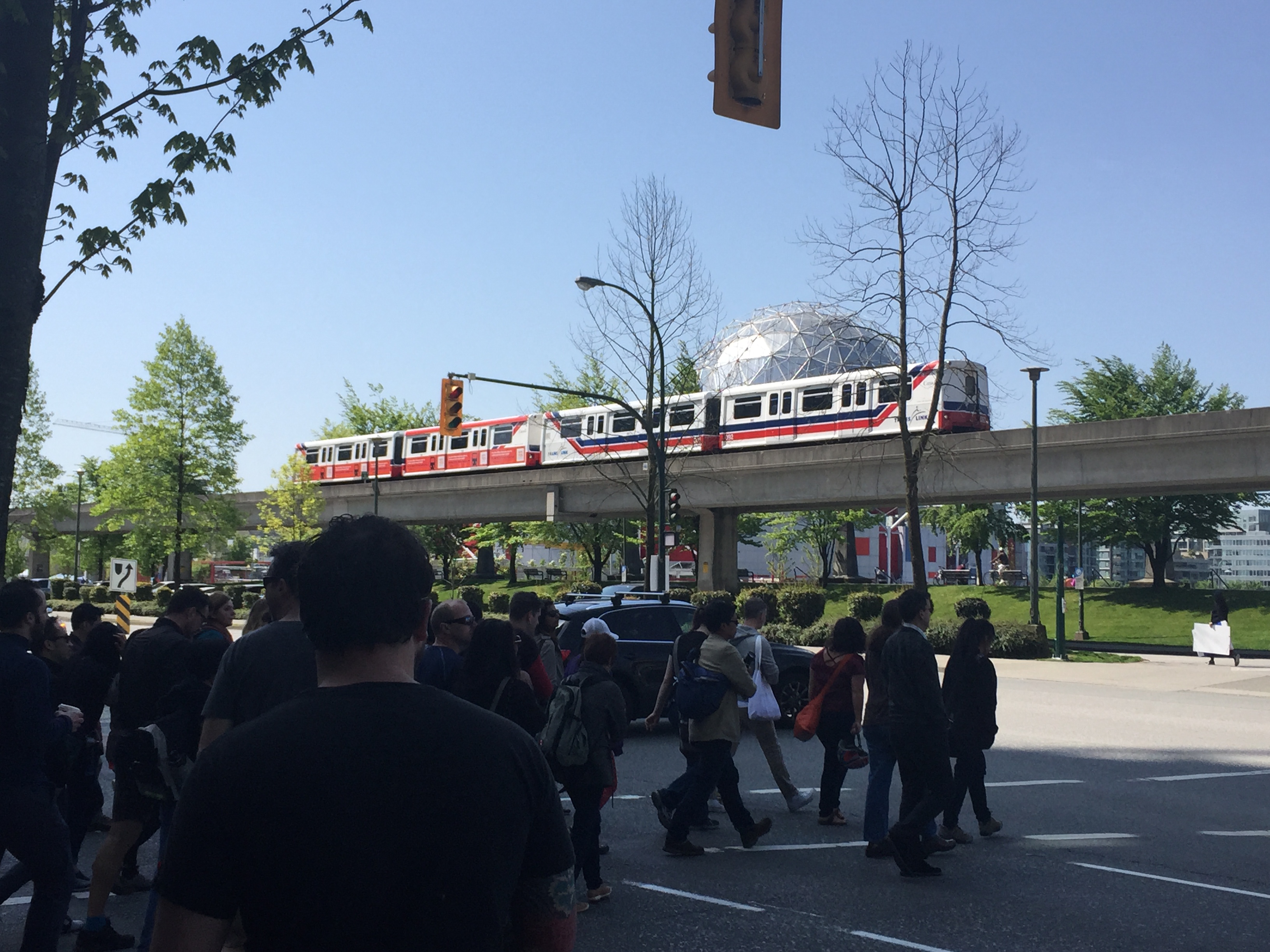
This teeny little expo exploded into a a world’s fair and what we now look back fondly as just Expo ’86. Just to give you a little perspective, they were expecting a maximum of 14 million people. They got 22 million! SkyTrain is one of the lasting contributions from Expo ’86 along with BC Place stadium, Science World and Canada Place.
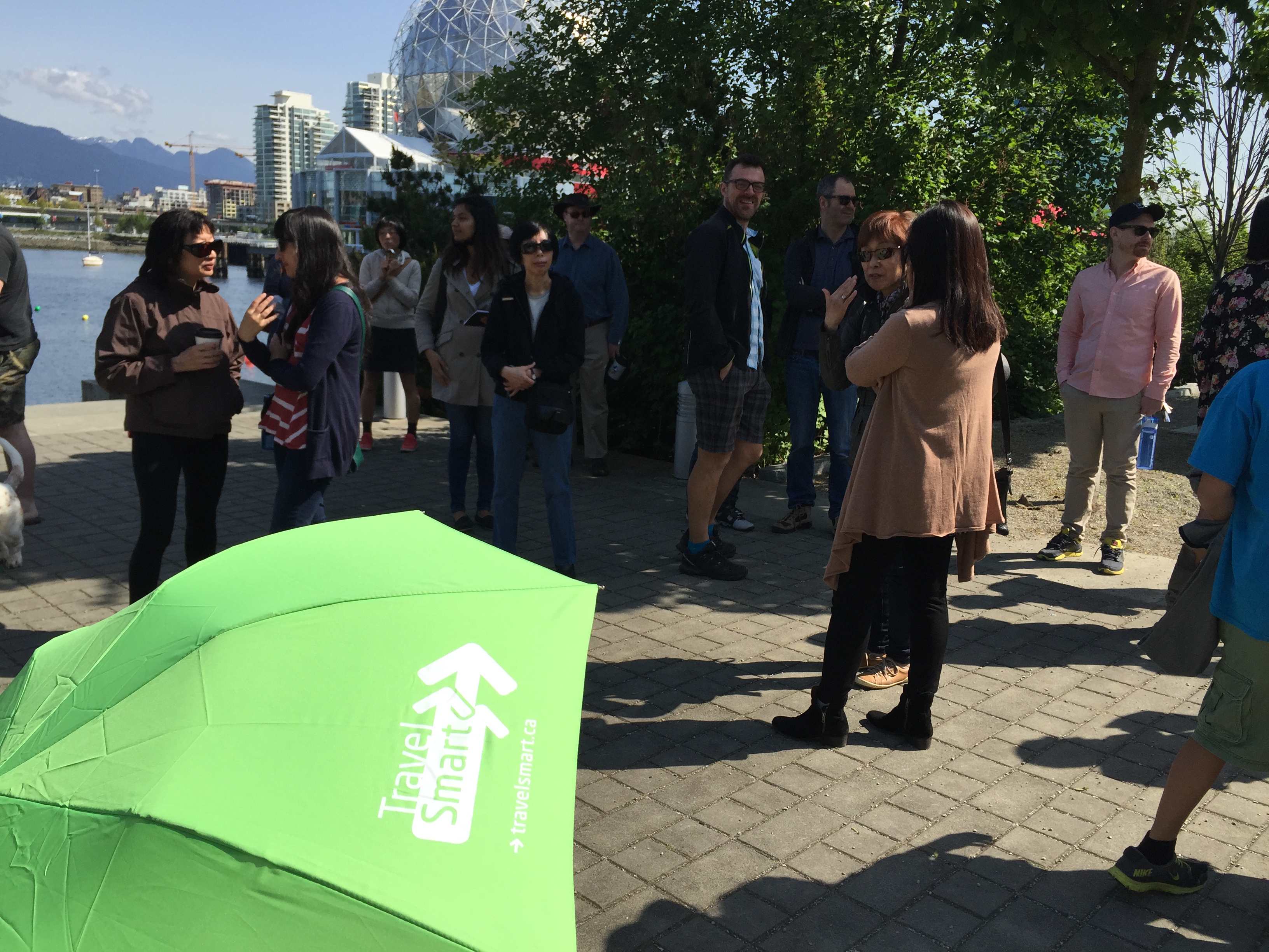
Our next stop was Main St-Science World SkyTrain station, currently under construction. This station was the first of many to begin a facelift. As our stations are around 30 years old, it’s about time! It includes the bike parkade, public art, prototype newspaper containment systems, retail and decorative lighting. The final changes will be made to this station in the next few months to be done by the end of this summer.
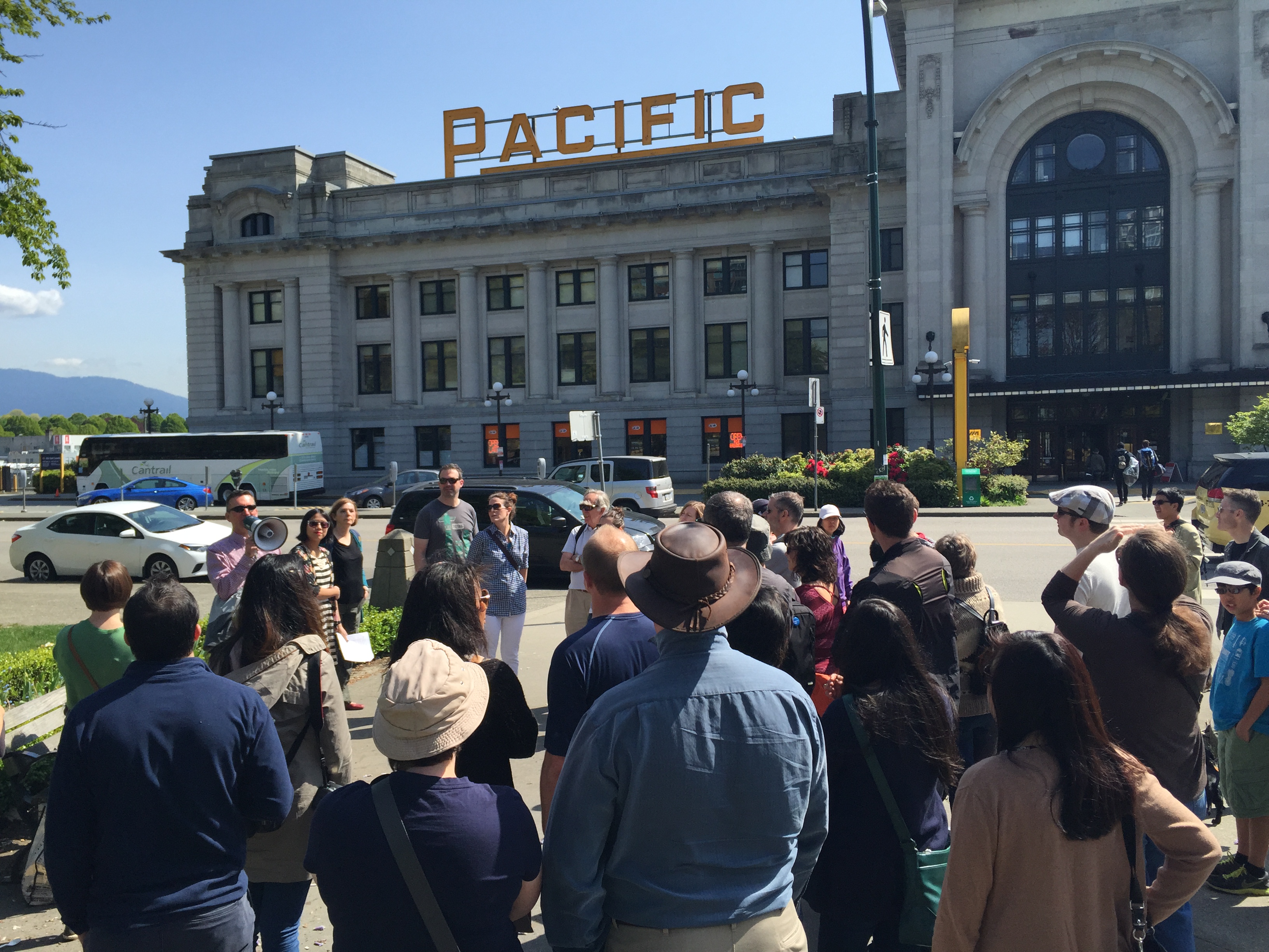
Just down the path you can see the Pacific Central train station. It houses… guess what? TRAINS! This was built in 1919 for the Canadian National Railway. CN passenger trains were transferred to VIA Rail in 1978. Today, one of the most popular train trips is from here to Seattle.
Just to the North of the station is the property which will become the new site for St. Paul’s Hospital.
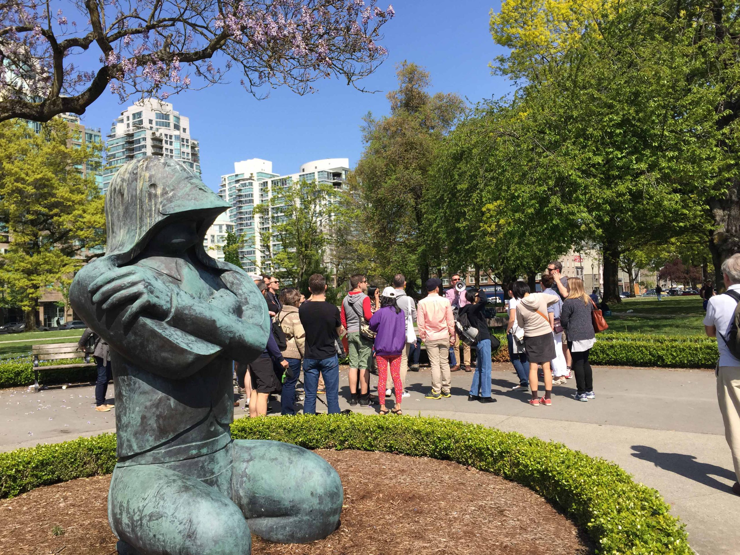
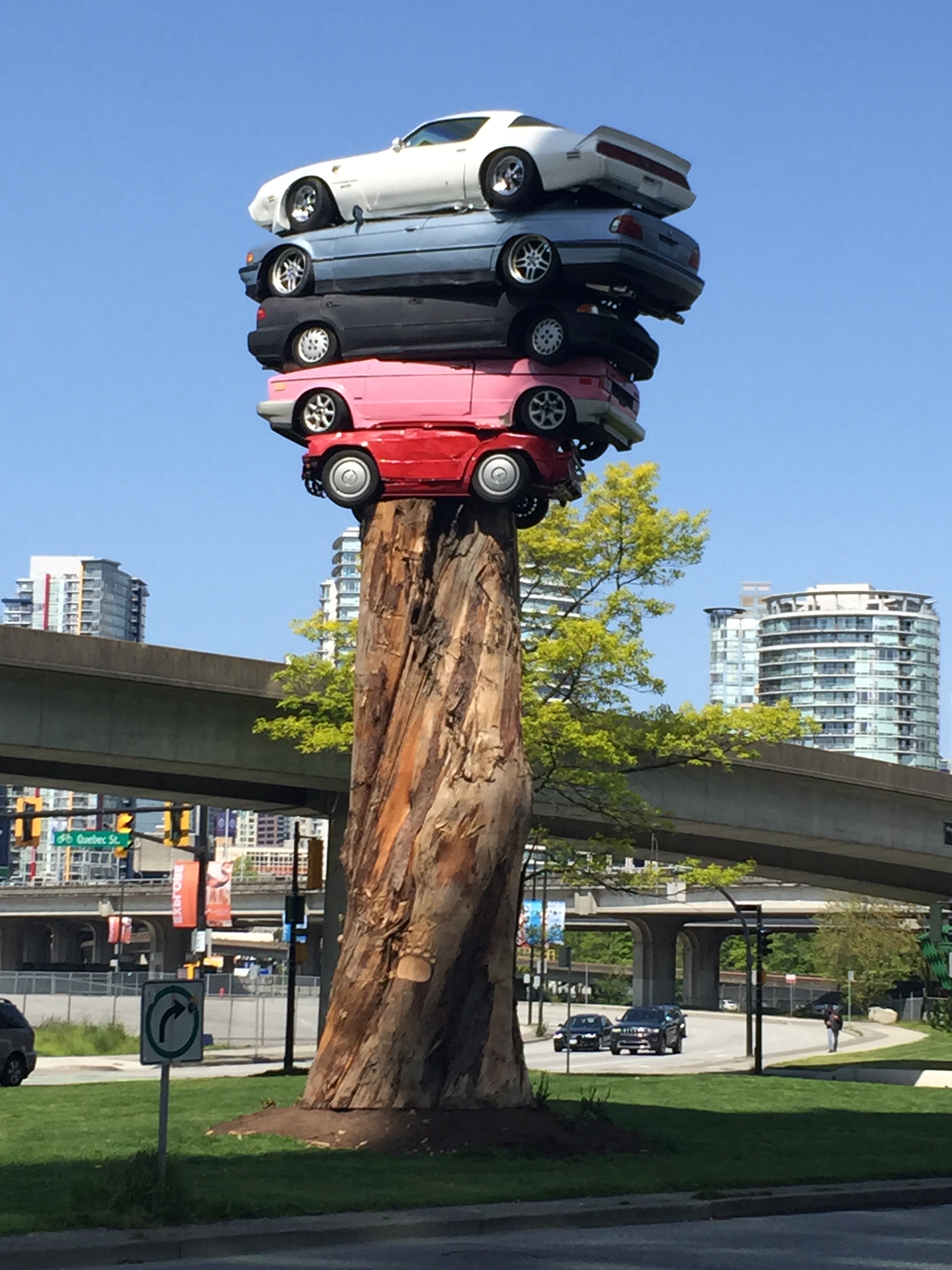
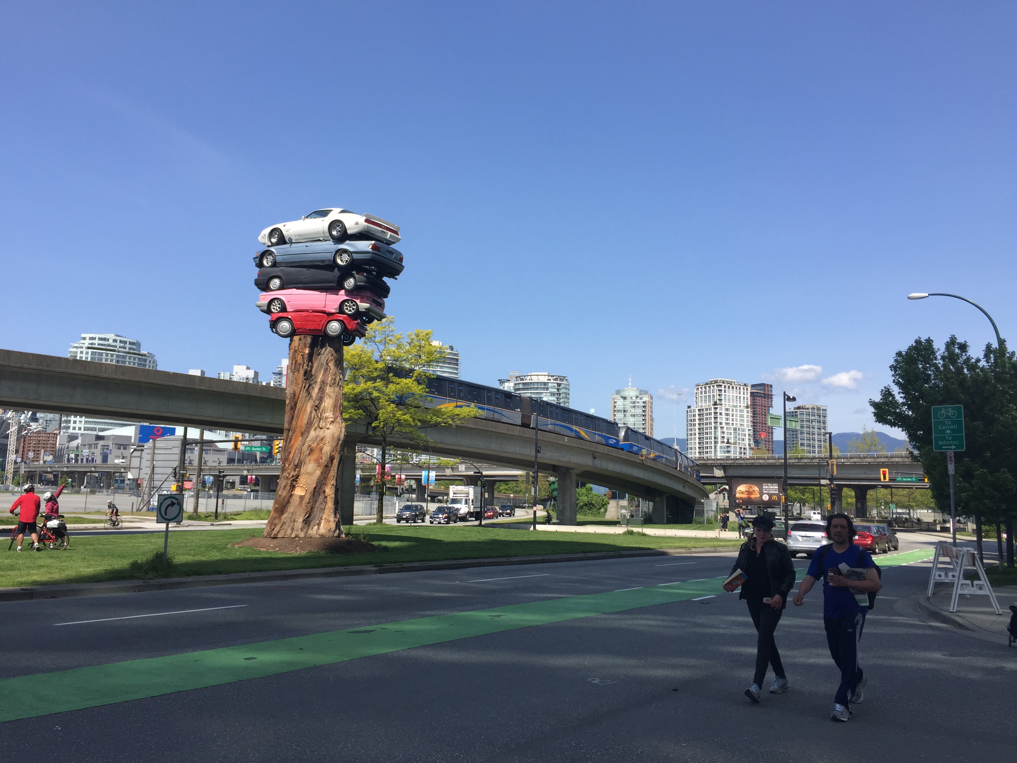
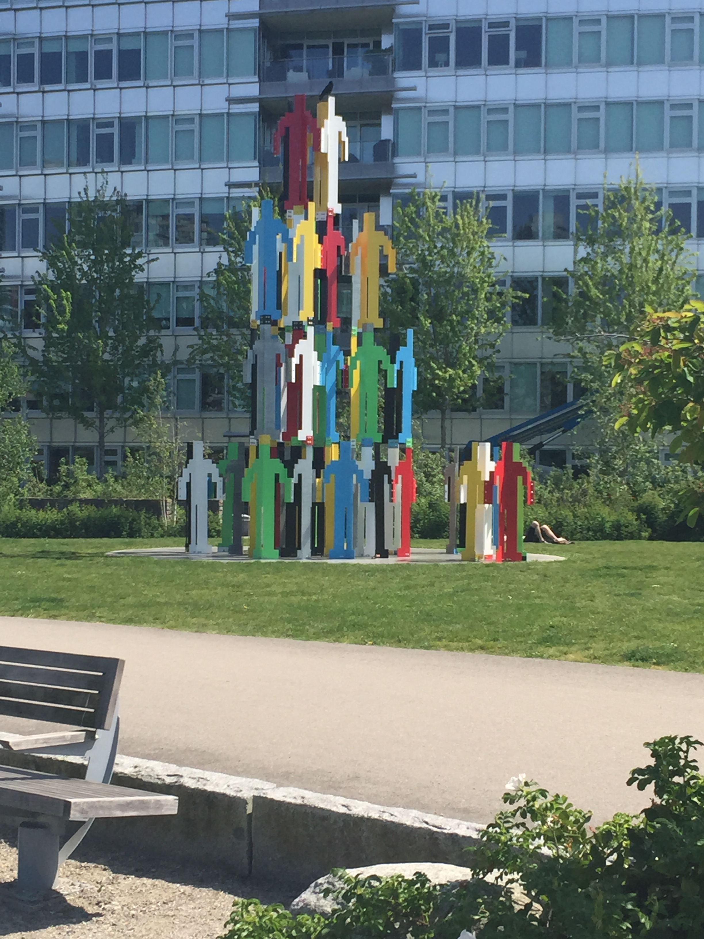
The Trans Am Totem by Marcus Bowcott is quite striking to see up close. Until this walk, I had only seen it from the SkyTrain on my way to or from downtown.
It’s part of Vancouver’s “Open Air Museum” from the 3rd Vancouver Biennale exhibition allowing access to all and to hopefully create “unexpected and global inspired cultural experiences where people live, play, work and transit.” This piece, according to the artist, is a metaphor that uncovers an unpleasant darkness in our society while revealing the emotional bankruptcy that results from our dependence on cheap, consumer goods.
You can also see the viaducts from this vantage point and it turns out the Georgia viaduct is for more than just filming the Deadpool movie! Along with the Dunsmuir viaduct, it was opened in 1972 that replaced a structure built from 1913-15.
The update was supposed to create a series of expressways in the downtown core. An idea that didn’t quite come to fruition. However, 43,000 vehicles and 2,000 bicycles use the viaducts every single day.
Hogan’s Alley was the local and unofficial name for Park Lane, an alley that ran through the southwestern corner of Strathcona until the 1960s. Most of the area was destroyed by the 1970s for the construction of the viaducts. Only one landmark of that area still remains and the Jimi Hendrix shrine on the corner of Union and Main. His grandmother lived in Vancouver and Jimi spent many a summer in the area.
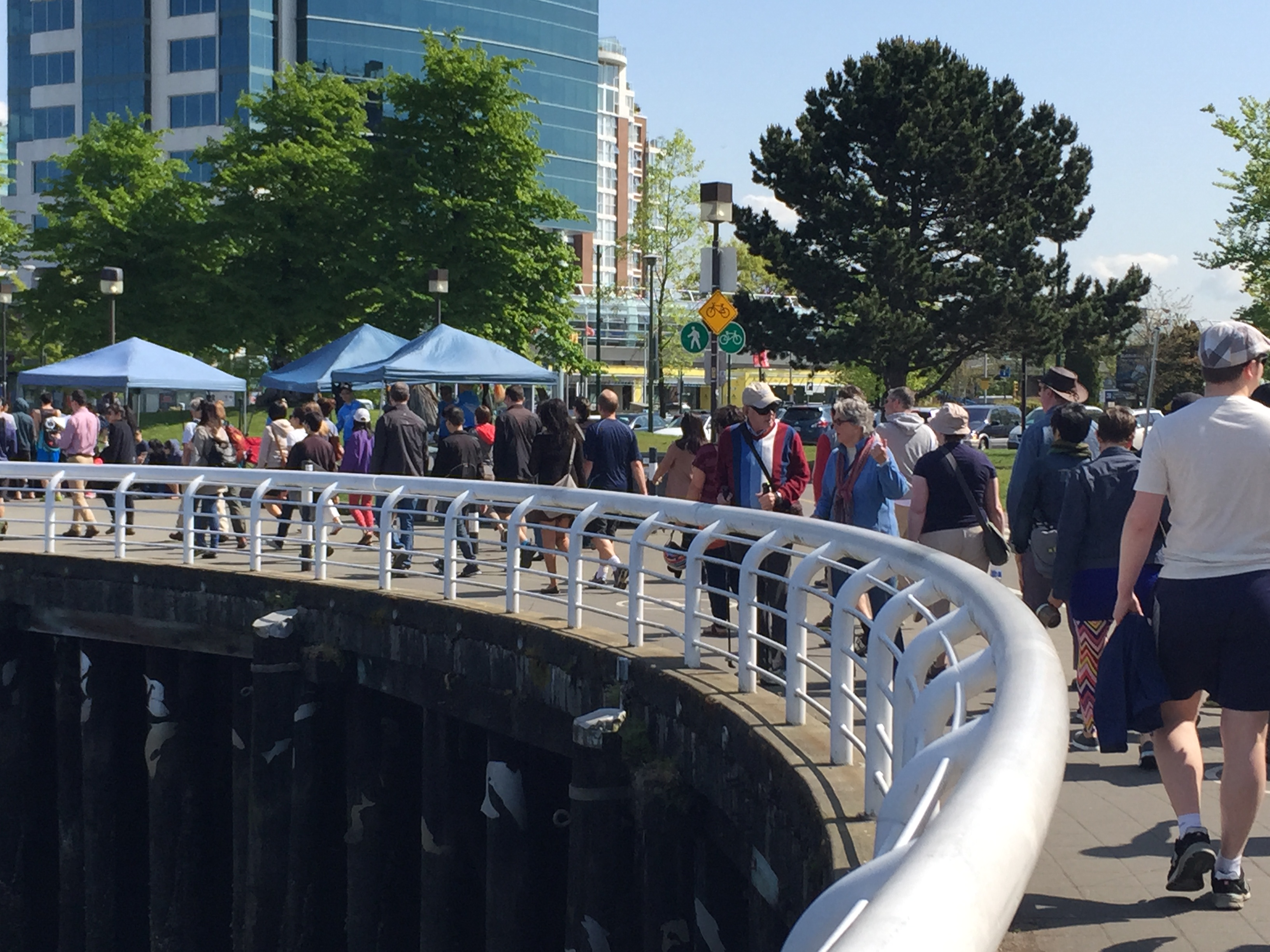
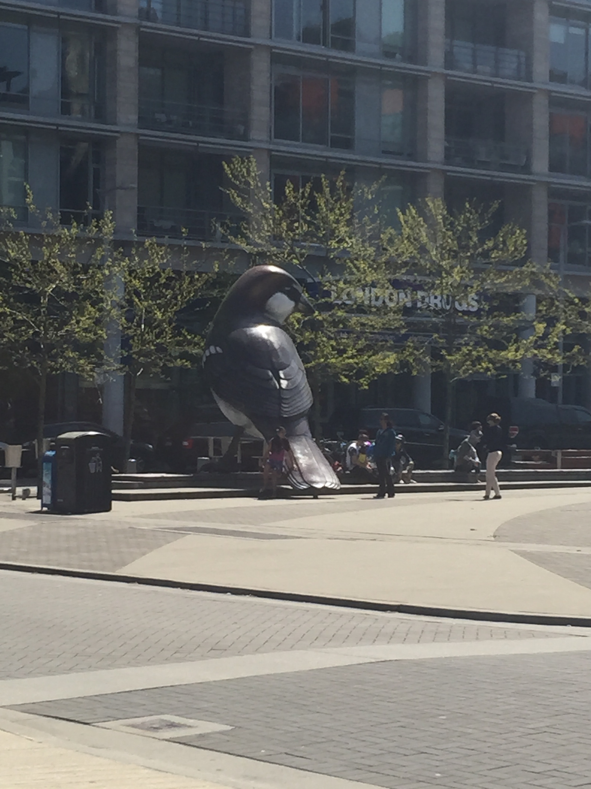
Next, we rounded back, passing our origin and continued to Olympic Village Square. Let me tell you, it’s for the birds! No, seriously, have you seen the giant sparrows? Apparently, they are European. C’est bon, es ist toll, es genial, è fantastico! The art is from Myfanwy MacLeod and inspired by Alfred Hitchcock’s film, “The Birds.”
Then came the wetlands. Here’s where it all started to go wrong…
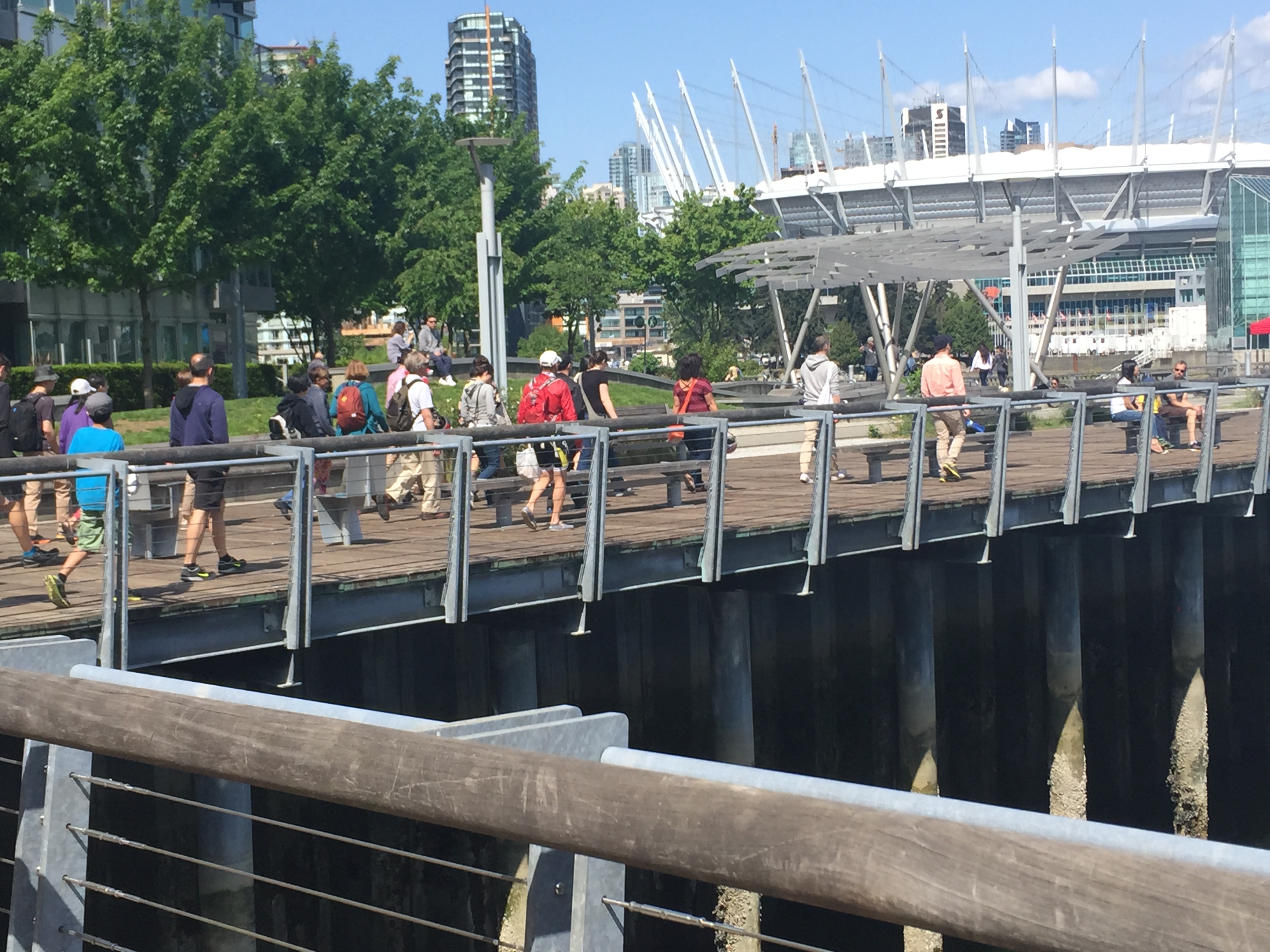
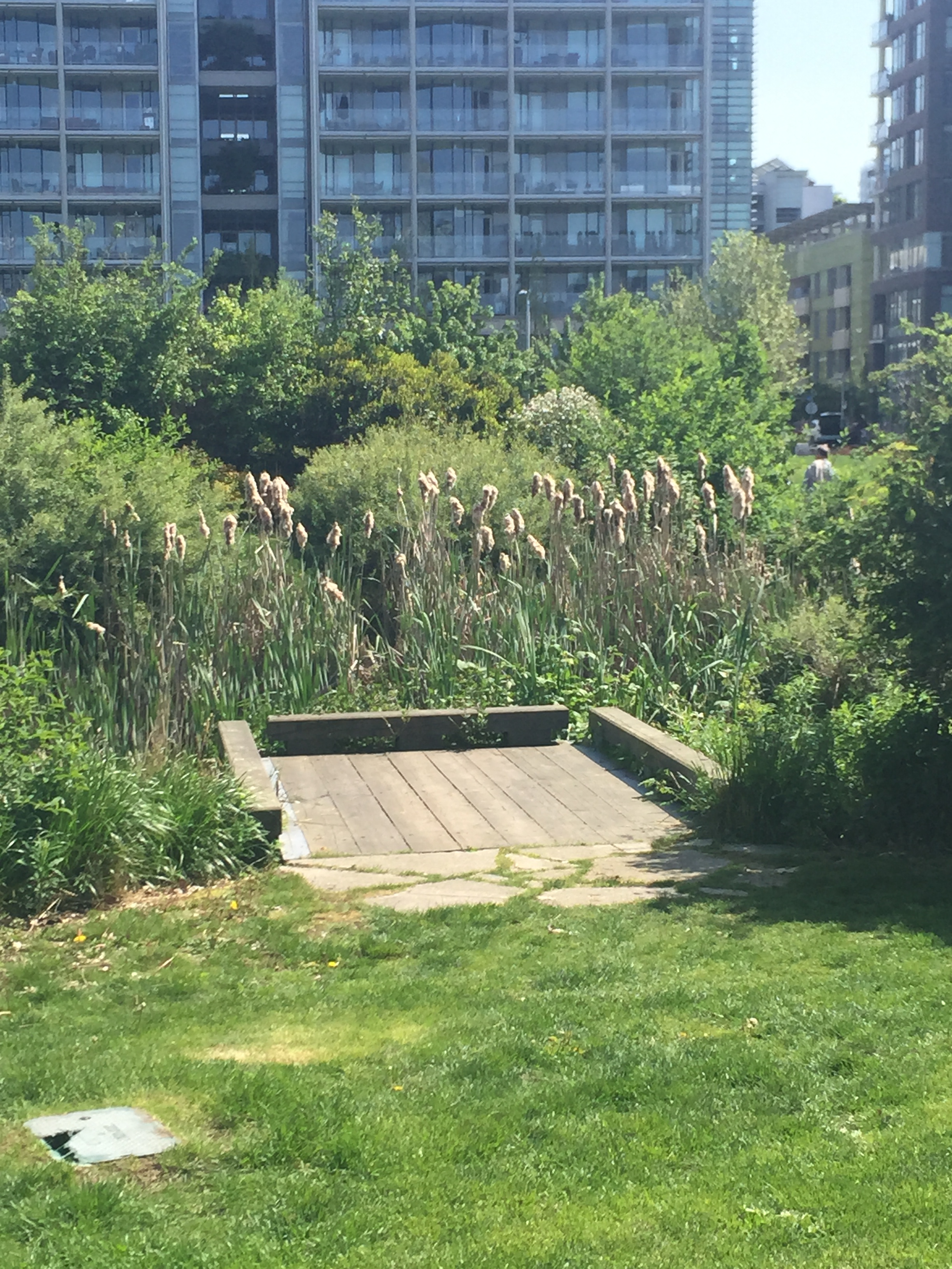
So, the park area with yes, wetlands, open green space, children’s playground, dog runs and the continuation of bike and walking paths is unofficially known as Hinge Park. The area is a combination of historical references to the former City Worksyard site with the creation of a naturalized wetland environment.
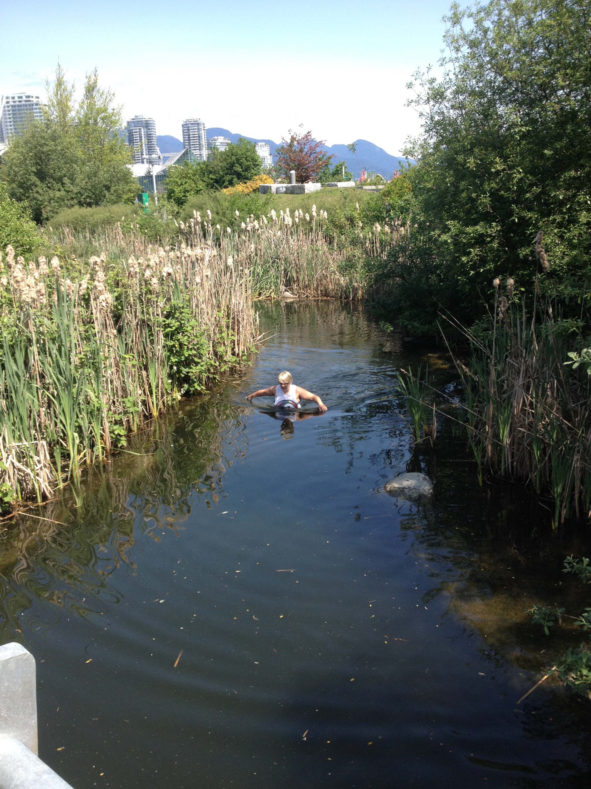
As I was trying to take a picture of the group, oops! It just slipped and I wasn’t fast enough. Phone. Pond. Ker-plunk!
I didn’t hesitate! I let my country girl roots kick in. Shoes and jewelry off and in I went! Unfortunately, the area closest to the phone’s watery grave was covered in bramble so I had a ways to go actually IN the water. It was cold. It was gross. There were ducks. People stared. You can see the final picture below I got from Sabrina. I suffer for this blog!
BUT! I got my phone, it worked (a modern day miracle) and I saved all the pictures from the day! And thanks to the fruit inspired manufacturer, let’s call them… “Banana,” I got a replacement phone for my rapidly fritzing, waterlogged one.
Because I was rather soggy, I missed the final stop, the Brewery Creek region. Luckily, my colleagues provided me with their notes!
Way, way, back this area was covered in dense, dark rainforest with many indigenous flower and berries used for First Nations medicine and food.
Later on, it was still defined by its landscape, with slaughterhouses, the nearby Vancouver Tannery and breweries including San Francisco Brewery, Mainland Brewery, Landsdowne Brewery, Lion Brewery and the Thorpe & Co. Soda Water Works.
Inspired by hops and barley past, there is a movement for areas call Craft beer urbanism. Yep. It’s a thing! Craft breweries and smaller distilleries and wineries are a part of a still growing trend in urbanism that helps define place making opportunities and local identity.
Last, but certainly not least, was the Salt Building (now home to Craft Beer Market) built in 1930. The original 13,000 square-foot space worked with the Bay Area salt trade in San Francisco where unrefined salt was shipped to Vancouver for processing and extraction. It is one of the last buildings in the area that harkens back to the industrial heyday of Vancouver.
That’s all folks! It was an interesting and enlightening day. I’m very glad, despite what I’m dubbing the new Watergate, I was able to understand more about some of the communities and neighbourhoods in Metro Vancouver. Although next time, I’ll have someone else take the photos, or have a wrist strap!
Author: Adrienne Coling




Thanks for the great write-up and photo documentation Adrienne! I’m glad to hear that your traumatic phone incident ended well.
Thanks to everyone who came. It was a lager group than we might have expected and the overall interest and enthusiasm was commendable! And kudos to my co-leader Sabrina who went beyond the call when an emergency situation in my family meant I had less prep time than expected.
Banana – hmmmmm did you read Bloom County when you were young?
http://www.computerhistory.org/atchm/wp-content/uploads/2013/07/bananaad.gif