New and updated Metro Vancouver cycling maps now available
New and updated Metro Vancouver cycling maps now available

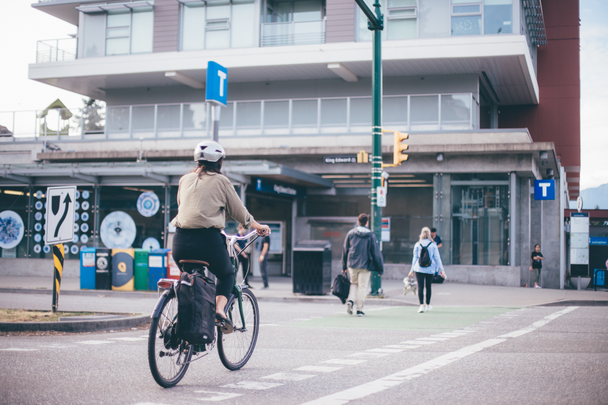
The new and updated Metro Vancouver Cycling Maps are now available for download. Use it to explore the best options for you.
These cycling maps include key connections to transit hubs, locations of bike lockers and parkades, and indicate areas with steeper hills. They also show the comfort levels of each route based on how separated it is from traffic.
Providing these resources is part of TransLink’s commitment to the All Ages and Abilities (AAA) cycling network, helping all cyclists navigate safely and comfortably.


