
Take transit to these trails around Metro Vancouver
Take transit to these trails around Metro Vancouver
One of the greatest things about British Columbia is its beautiful outdoors and many of its walking and cycling trails are easily accessible by public transit.
So this summer take advantage of our region’s natural resources and wildlife and let the countless trails take you to hidden gems such as creeks, waterfalls and animal habitats.
It’s not uncommon for trails to intersect and connect with other trails causing adventures to end in different locations than they started. Travelling car-free gives you freedom to start and end your trail, or transit journey anywhere. Keep our handy Trip Planner at your fingertips to learn how to get to these trails and back.
Always travel smart, and pack some snacks, water, and even some extra layers for an active day out with nature and take transit to these trails around Metro Vancouver. You can always head to AdventureSmart to make sure you’re well prepared for any outdoor activity.
Vancouver
Pacific Spirit Regional Park | UBC Endowment Lands
The Pacific Spirit Regional Park at the UBC Endowment Lands is surrounded by many walking and cycling trails such as Cleveland, Salish, Huckleberry, and more. Use this map to create your own route. Some must-visit destinations include the Camosun Bog, Sword Fern Trail, and the Admiralty Trail with amazing ocean views.
Some trails are for walking only, so make sure to find shared trails if you plan on cycling.
Where: Chancellor Boulevard, Vancouver
Transit: Several routes like 44, 4, 84, and the 99 B-Line will take you nearby. Find your best route here.
North Vancouver
Lynn Loop and Lynn Canyon
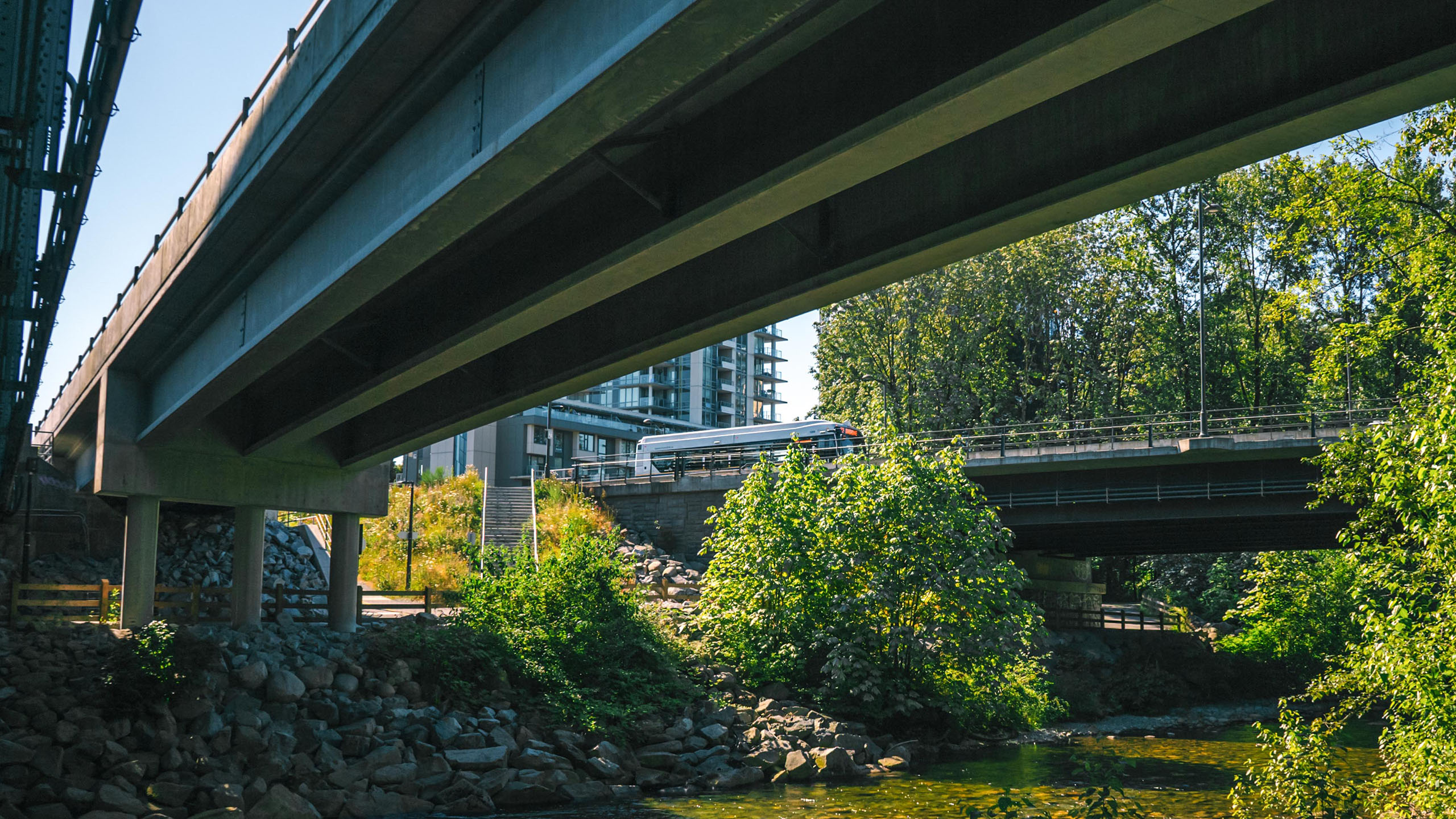
Hear the rush of the water as you walk through the Lynn Loop trail. It can take you approximately 1.5 hours to do a round-trip walk up the forest before looping back along Lynn Creek.
Since you’re in the area, check out Lynn Canyon to find the Lynn Canyon Suspension Bridge, Twin Falls, and perhaps even the 30-foot pool.
Where: Lynn Creek, North Vancouver
Transit: Route 228 will take you close to Lynn Creek. Find your best route here.
Burnaby
Burnaby Mountain
There are several trails to Burnaby Mountain for hikers and mountain bikers. Use this guide to plan where you want to start and end.
Where: Burnaby Mountain Biking and Hiking Trails
Transit: Routes R5, 144, and 145 will take you to Poplar Trail along University Drive. Find your best route here.
Deer Lake Park
Deer Lake Park has an easy, mostly flat walking trail that takes you around Deer Lake. Boat rentals are also available near the entrance if you’d like to experience Deer Lake from the water in addition to on land.
Where: 5435 Sperling Avenue, Burnaby
Transit: Routes 123, 133, and 144 serve the area. Find your best route here.
Coquitlam
Mundy Park
Mundy Park is Coquitlam’s largest park with a total of 16-kilometres of trails that take you to Mundy Lake and Lost Lake. Use this map to plan your route. If you plan on cycling, follow the orange path. Make sure to check out the bike skills trail while you’re there for an added adventure!
Where: 641 Hillcrest St, Coquitlam
Transit: Routes 151, 153, and 156 serve the area. Find your best route here.
Port Coquitlam
Traboulay PoCo Trail
Walk or cycle along the 25.3-kilometre Traboulay PoCo Trail that will take you around Pitt River, Coquitlam River, and the community in-between. Use this map to plan where to start and end.
Where: Traboulay PoCo Trail, Port Coquitlam
Transit: Routes 791 and 175 serve the trail entrance by Pitt River and the Mary Hill Bypass. Find your best route here.
Surrey
Bear Creek Park
Bear Creek Park offers many family-friendly activities on its own, allowing you to explore the trails and meet-up with family and friends for a picnic at the park afterwards. The trails take you to Bear Creek and King Creek where you can watch salmon spawn or spot owls and eagles in the treetops.
Where: 13750 88 Ave, Surrey
Transit: Routes 321, 325, 388, and R1 will take you nearby. Find your best route here.
Port Moody
Shoreline Trail
The walking and cycling trails wrap the eastern shore of the Burrard Inlet where you can find motorboats, kayakers, and even dragon boaters on a bright sunny day.
Where: Shoreline Trail, Port Moody
Transit: You can walk from Moody Centre Station or take routes 182 or 160. Find your best route here.
Walking or cycling on trails can help you disconnect from the buzz of the streets and help you reconnect with nature, yourself, and the people you’re with. The temperate climate here means you can take transit to these trails around Metro Vancouver all year round.

Did your favourite transit-friendly trail make the list? If not, drop it in the comments below!
Buses should go to Golden Ears in the summer.
Consider transit to Durby Reach Park Langley.
It is a provincial park. Contact BC Parks