TransLink Wayfinding 101: what is wayfinding?
TransLink Wayfinding 101: what is wayfinding?
This is the first post of our Wayfinding 101 series taking a closer look at wayfinding at TransLink, bringing you the ins and outs, and answers to your questions.
If you’ve taken transit, you’ve taken part in wayfinding on our system. So what exactly is it?
For the customer, wayfinding is much more than applying directional signage, and for us at TransLink, it’s much more than simply providing directional signage.
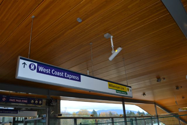
Wayfinding is how you navigate complex journeys and transit facilities using your own mental maps and navigational tools such as signage and maps. These tools distill complex environments into easily navigable chunks for our customers by providing pertinent information only when needed.
Even if you’re a regular customer that can easily find your way, you would have interacted with our wayfinding tools at least once to learn how to get around to create a mental map of where everything is.
Think of Waterfront Station and—chances are—you know where it’s geographically located in the region, the different ways you can get there, along with the different services you can connect to and how to get to them within the station.

Our wayfinding aims to provide a consistent source of information (one voice, “one voice of truth”) and aid in step-by-step journey planning.
We’re doing a deep dive into wayfinding at TransLink, so every second Friday over the next few months, we’ll bring you a new post about it! Some of the topics we’ll be covering include our wayfinding principles, naming principles for transit passenger facilities, the story of the “T” marker, the new bus stop signage and much more!
Join us on a behind the scenes tour from our Instagram Channel.
Do you have a wayfinding question you’d like us to cover in this series? Leave it in the comments section below and we’ll try our best to answer it in an upcoming post.
Author: Allen Tung


