
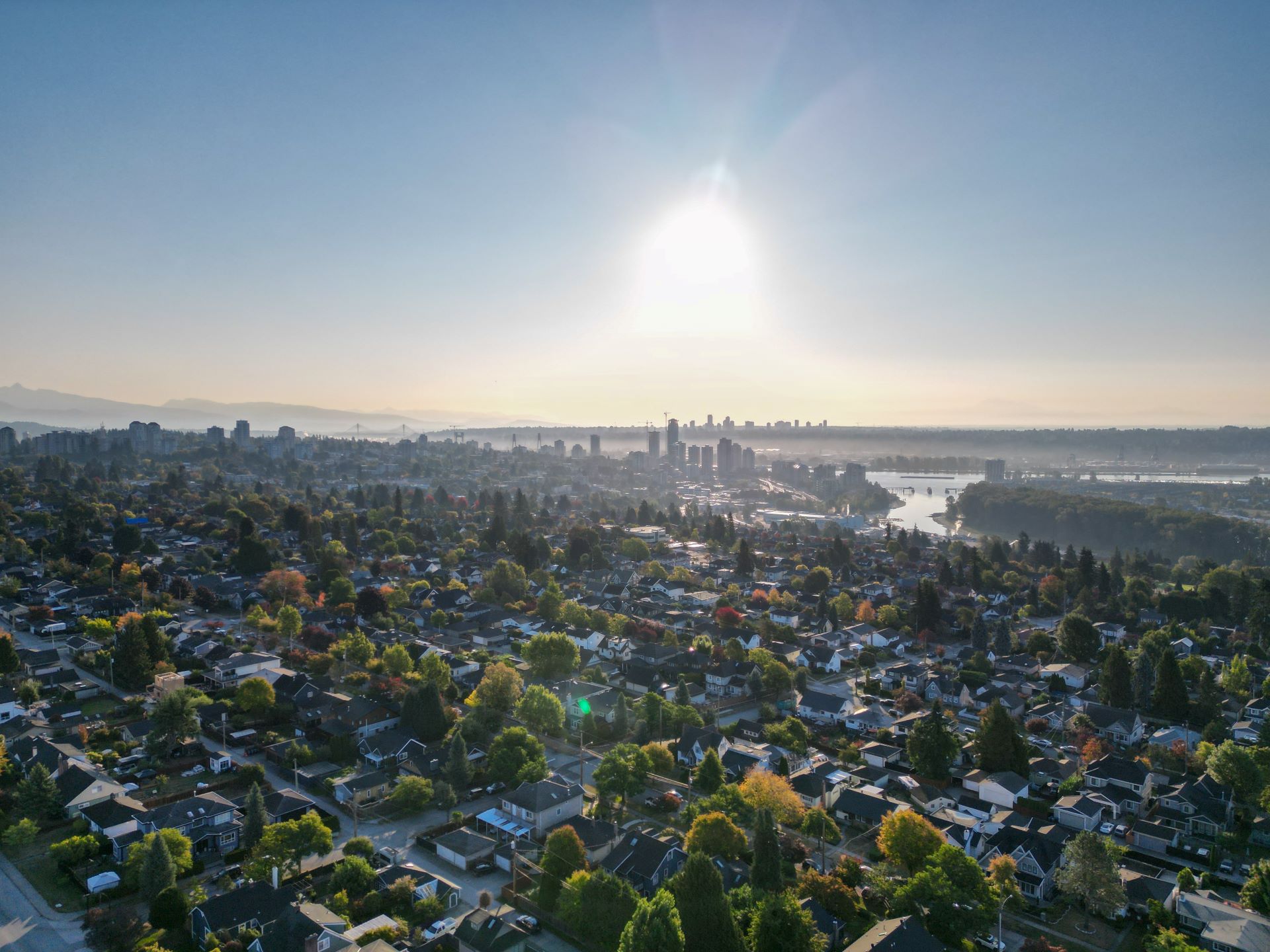
Help us improve transportation for you in the Burrard Peninsula area
Help us improve transportation for you in the Burrard Peninsula area
Between now and Oct. 27, we’re inviting you take part in public engagement for the Burrard Peninsula Area Transport Plan!
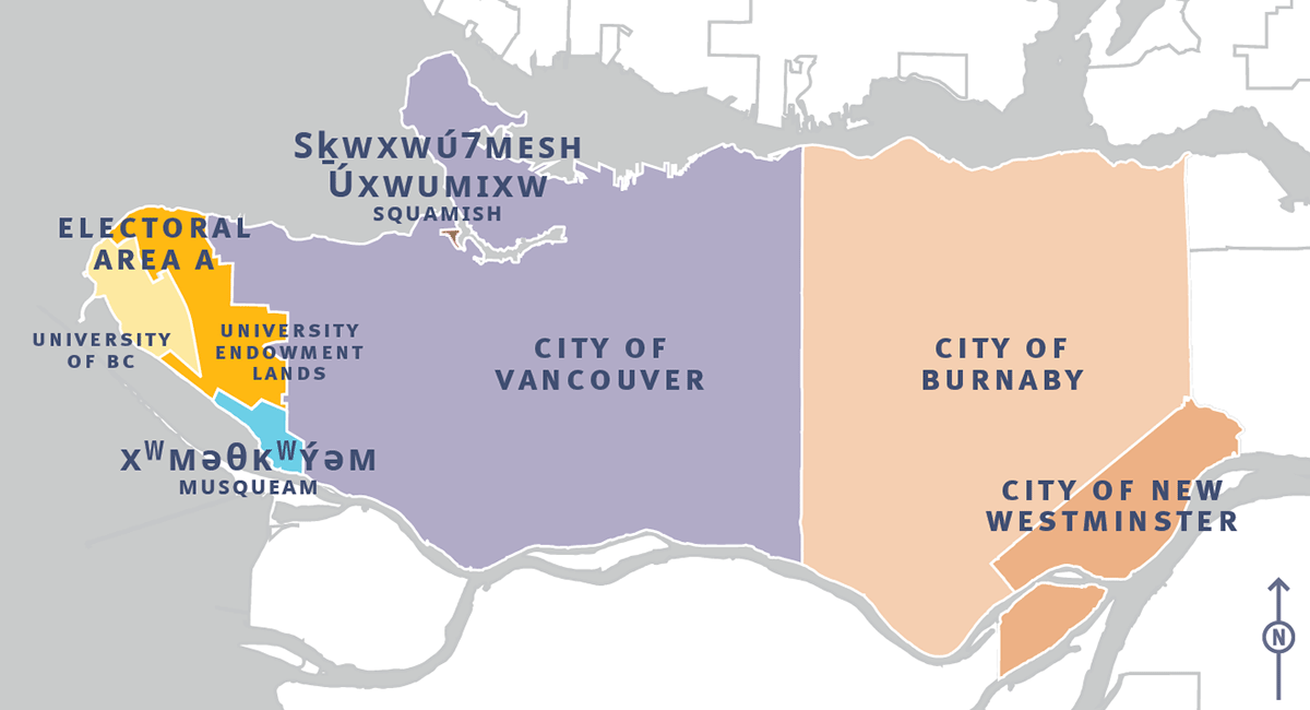
Who’s it for: People who live, work or play in, or travel through Burnaby, New Westminster, Vancouver, the University of British Columbia, and the University Endowment Lands.
- These are the traditional and unceded territories of several Indigenous Nations including qʼʷa:n̓ƛʼən̓ (Kwantlen) First Nation, kʷikʷəƛ̓əm (Kwikwetlem) First Nation, xʷməθkʷəy̓əm (Musqueam), Sḵwx̱wú7mesh Úxwumixw (Squamish Nation), səlilwətaɬ (Tsleil-Waututh) Nation, and qiqéyt (Qayqayt) First Nation.
What’s happening: We want to hear from you about how you travel in this area, as well as what’s working and what could be improved when it comes to transportation.
- The plan is about more than just transit — we oversee planning and managing the transportation system for Metro Vancouver.
- That’s why whether you drive, ride transit, walk or roll, we want to hear from you.
What to do: The Burrard Peninsula Area Transport Plan survey is available from Oct. 10 to 27.
- Take the survey at translink.ca/bpatp.
- The survey is available in English, Simplified and Traditional Chinese, and Punjabi.
- We’re also hosting pop-up information sessions in the community. Find out where we’re popping up next at translink.ca/bpatp.
Why it matters: An area transport plan helps us prioritize future investments in the transportation network for the next 15 years.
- Notably, an area transport plan is one of the first steps in helping to identify new or changes to routes for implementation in future service changes, which happen four times a year.
Details:
- The Burrard Peninsula covers Burnaby, New Westminster, Vancouver, and Electoral Area A, including the University of British Columbia and the surrounding University Endowment Lands.
- The Burrard Peninsula Area Transport Plan will focus primarily on the local transit network, including transit priority infrastructure. It will consider active and safe streets too as they relate to walking, cycling, and micro-mobility.
- We will also develop recommendations around the Major Road Network and regional goods-movement. TransLink’s goal is to make sure goods and people can move around the region easily and safely.
- This is an ambitious project that combines the Vancouver and UBC/University Endowment Lands subregion and the Burnaby and New Westminster subregion.
What’s next: This is the first of two phases of public engagement for the Burrard Peninsula Area Transport Plan. A second phase is set for the second half of 2024 when we’ll ask for feedback on recommended actions and how best to prioritize them.
Zoom out: Area transport plans are an opportunity for TransLink to work more closely with local governments, Indigenous Nations, stakeholders, and the public to identify key transportation priorities relating to the local transportation network for the next 15 years.
- This includes transit service and infrastructure, while also addressing aspects of cycling, walking, driving, and goods movement.
- Area transport plans are informed by and help to advance the goals and objectives outlined in Transport 2050, the region’s transportation strategy, and the 10-Year Priorities.
- Together these plans establish the region’s long-term transportation vision, overall goals, targets, policy direction, and investment priorities.